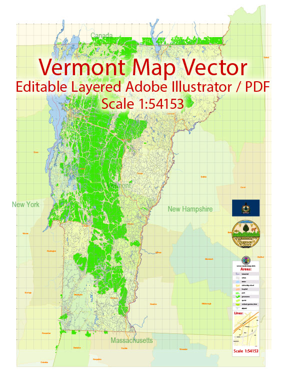
Vermont is a state in the New England region of the United States. Here is a description of some of Vermont’s principal cities, notable waterways, and main roads:
Principal Cities:
- Burlington: Located on the eastern shore of Lake Champlain, Burlington is Vermont’s largest city. It is known for its vibrant downtown area, the Church Street Marketplace, and the University of Vermont.
- Montpelier: The capital city of Vermont, Montpelier is the smallest capital city in the United States by population. It is known for its historic architecture and as the political center of the state.
- Rutland: Rutland is one of the state’s major cities and serves as an economic hub. It is located in the south-central part of Vermont and has a rich history.
- South Burlington: Adjacent to Burlington, South Burlington is a city that is part of the Burlington metropolitan area. It is known for its commercial and retail development.
Notable Waterways:
- Lake Champlain: This large, freshwater lake forms much of the western border of Vermont, separating it from the state of New York. It is a popular recreational area for boating and fishing.
- Connecticut River: The eastern border of Vermont is defined by the Connecticut River, one of the longest rivers in the United States. It provides opportunities for water-based recreation and scenic views.
Main Roads:
- Interstate 89 (I-89): This north-south interstate highway connects Vermont to New Hampshire. It passes through Montpelier and Burlington.
- Interstate 91 (I-91): Running along the eastern border of Vermont, I-91 connects the state to Massachusetts and Canada. It passes through cities like St. Johnsbury and Brattleboro.
- U.S. Route 7 (US 7): A major north-south highway in western Vermont, US 7 passes through cities like Burlington and Rutland.
- U.S. Route 2 (US 2): This east-west highway traverses northern Vermont, connecting the cities of Burlington and Montpelier.
Vectormap.Net provide you with the most accurate and up-to-date vector maps in Adobe Illustrator, PDF and other formats, designed for editing and printing. Please read the vector map descriptions carefully. For the most current and detailed information, it’s recommended to consult the latest maps and resources specific to Vermont.


 Author: Kirill Shrayber, Ph.D. FRGS