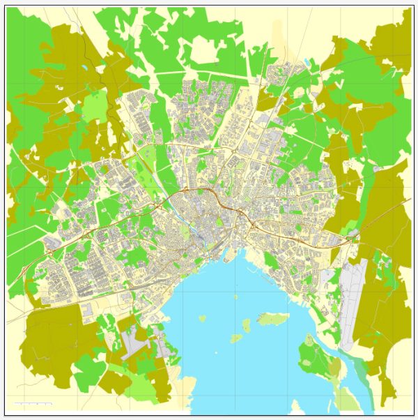
Västerås, located in central Sweden on the shores of Lake Mälaren, is a city with a rich history and several notable features in terms of waterways, bridges, and main streets. Vectormap.Net provide you with the most accurate and up-to-date vector maps in Adobe Illustrator, PDF and other formats, designed for editing and printing. Please read the vector map descriptions carefully.
Waterways:
- Lake Mälaren: Västerås is situated on the northern shore of Lake Mälaren, one of Sweden’s largest lakes. The city enjoys a scenic waterfront along the lake, offering opportunities for recreation and leisure activities.
- Eskilstuna River: The Eskilstuna River flows through Västerås and contributes to the city’s picturesque landscapes. It’s a relatively small river but adds to the overall charm of the area.
Bridges:
- Västeråsbron (Västerås Bridge): This is a prominent bridge connecting the northern and southern parts of Västerås across Lake Mälaren. The bridge is a significant landmark and offers breathtaking views of the lake and the city.
- Djäknebergsbron: Another notable bridge in Västerås, Djäknebergsbron spans the Eskilstuna River, providing a vital connection over this waterway.
Main Streets:
- Stora Gatan: Stora Gatan is one of the main streets in the city center, lined with shops, restaurants, and cafes. It is a bustling area with a mix of historical and modern architecture.
- Vasagatan: This street is another central thoroughfare in Västerås, known for its commercial activity and accessibility. It intersects with Stora Gatan and contributes to the city’s vibrant atmosphere.
- Kopparbergsvägen: Running through different parts of Västerås, Kopparbergsvägen is a major road that facilitates transportation within the city.
- Smedjegatan: Smedjegatan is a charming street with a historical touch, featuring old buildings and a unique atmosphere. It adds character to the city center.
Remember that cities can undergo changes and developments, so it’s always a good idea to check for the latest information from local sources or official city websites for the most up-to-date details on waterways, bridges, and main streets in Västerås.


 Author: Kirill Shrayber, Ph.D. FRGS