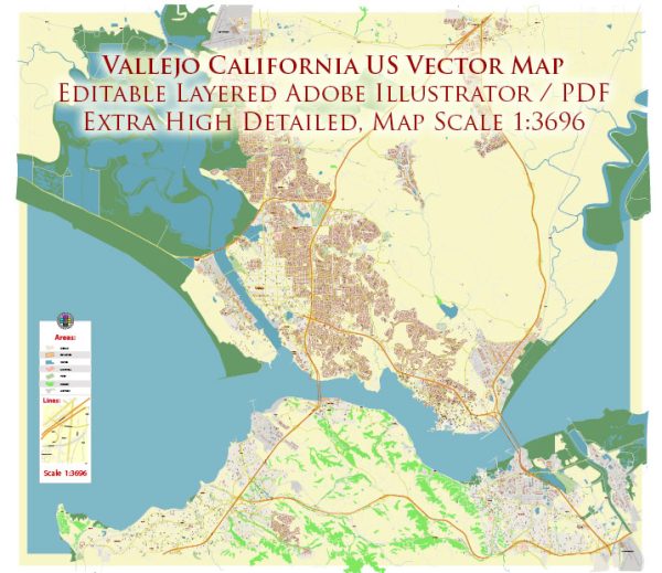
Some general information about Vallejo, California’s principal waterways, bridges, and main streets based on historical information.
Vectormap.Net provide you with the most accurate and up-to-date vector maps in Adobe Illustrator, PDF and other formats, designed for editing and printing. Please read the vector map descriptions carefully.
Principal Waterways:
- Napa River: Vallejo is situated along the Napa River, which flows into San Pablo Bay. The waterfront area of Vallejo has been developed, and the city has historically been an important port.
Bridges:
- Carquinez Bridge: Vallejo is located near the Carquinez Strait, and the Carquinez Bridge connects Vallejo to Crockett on the other side of the strait. The bridge is a vital transportation link in the region.
Main Streets:
- Sonoma Boulevard (Highway 29): This is one of the main thoroughfares running through Vallejo. It connects the city to neighboring communities and provides access to major highways.
- Georgia Street: Georgia Street is a prominent street in downtown Vallejo, featuring various shops, businesses, and services.
- Springs Road: Another important road in Vallejo, Springs Road connects different parts of the city and serves as a key route for local traffic.
- Marin Street: Marin Street is notable, especially in the downtown area, where it intersects with other main streets, contributing to the city’s overall transportation network.
- Curtola Parkway: This parkway runs east-west in Vallejo and serves as a major transportation corridor.
Keep in mind that urban landscapes can change, and new developments may have occurred since my last update. For the most current and detailed information, it’s recommended to consult local maps, city planning documents, or official Vallejo city resources.


 Author: Kirill Shrayber, Ph.D. FRGS