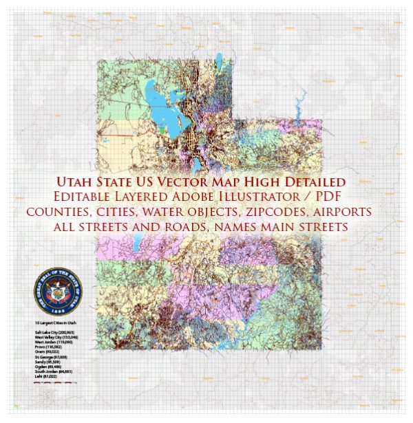
Utah is a state located in the western region of the United States. Here are some principal cities, waterways, and main roads in Utah:
Principal Cities:
- Salt Lake City:
- The capital and largest city of Utah.
- Known for its beautiful setting against the backdrop of the Wasatch Mountains.
- Home to the headquarters of the Church of Jesus Christ of Latter-day Saints (LDS Church).
- Provo:
- Located south of Salt Lake City.
- Home to Brigham Young University (BYU).
- Ogden:
- Situated in northern Utah.
- Known for its historic 25th Street, which features shops, restaurants, and entertainment.
- St. George:
- Located in the southwestern part of the state.
- Known for its warm climate and outdoor recreational activities.
- Park City:
- Famous for its ski resorts and outdoor recreation.
- Hosts the Sundance Film Festival annually.
Waterways:
- Great Salt Lake:
- The largest saltwater lake in the Western Hemisphere.
- Important for its unique ecosystem and bird habitats.
- Green River:
- Flows through the eastern part of the state, known for its scenic canyons.
- Colorado River:
- Forms the southeastern border of Utah.
- Carves spectacular canyons, including the renowned Glen Canyon and Lake Powell.
Main Roads:
- Interstate 15 (I-15):
- The major north-south interstate highway in Utah.
- Connects cities like St. George, Provo, Salt Lake City, and Ogden.
- Interstate 80 (I-80):
- Runs east-west, connecting Salt Lake City with the Nevada border.
- U.S. Route 89 (US-89):
- Travels north-south through the central part of the state.
- Scenic route with access to national parks and recreation areas.
- U.S. Route 6 (US-6):
- Runs east-west, connecting Spanish Fork to the Nevada border.
- State Route 9 (SR-9):
- Goes through Zion National Park, offering stunning views.
- State Route 12 (SR-12):
- Designated as an All-American Road, passing through scenic areas like Bryce Canyon National Park.
- Legacy Parkway:
- A scenic highway connecting Salt Lake City and Farmington.
Utah’s geography is characterized by diverse landscapes, including mountains, deserts, and unique geological formations, making it a popular destination for outdoor enthusiasts and nature lovers.
Vectormap.Net provide you with the most accurate and up-to-date vector maps in Adobe Illustrator, PDF and other formats, designed for editing and printing. Please read the vector map descriptions carefully.


 Author: Kirill Shrayber, Ph.D. FRGS