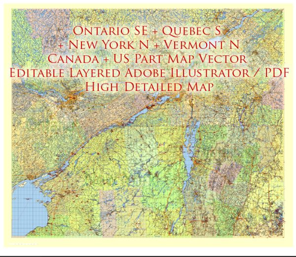
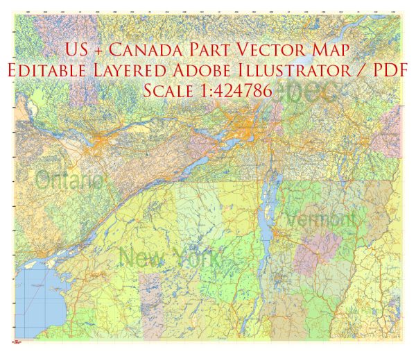
Northeastern United States and Southeastern Canada, including principal cities, waterways, and main roads.
Vectormap.Net provide you with the most accurate and up-to-date vector maps in Adobe Illustrator, PDF and other formats, designed for editing and printing. Please read the vector map descriptions carefully.
Northeastern United States:
Principal Cities:
- New York City, NY: A global financial and cultural hub, renowned for landmarks like Times Square, Central Park, and the Statue of Liberty.
- Boston, MA: A historic city with prestigious universities, cultural institutions, and historical sites like the Freedom Trail.
- Philadelphia, PA: Known for its rich history, including Independence Hall and the Liberty Bell.
- Washington, D.C.: The capital of the United States, home to iconic monuments, government buildings, and museums.
- Baltimore, MD: A major port city with a rich maritime history and diverse neighborhoods.
Waterways:
- Hudson River: Flows through New York state, connecting Albany to New York City.
- Chesapeake Bay: A large estuary providing important ports and water routes for the region.
- Delaware River: Flows through the Delaware Valley, serving as a key transportation corridor.
Main Roads:
- Interstate 95 (I-95): A major North-South highway connecting cities from Miami to Maine, passing through major Northeastern cities.
- I-90 (New York State Thruway): Connects Boston to Buffalo, passing through Albany and Syracuse.
Southeastern Canada:
Principal Cities:
- Montreal, Quebec: A bilingual and multicultural city known for its festivals, arts, and historic architecture.
- Toronto, Ontario: Canada’s largest city, a major financial and cultural hub with a diverse population.
- Quebec City, Quebec: A historic city with European charm, featuring Old Quebec, a UNESCO World Heritage site.
- Ottawa, Ontario: The capital of Canada, known for its government institutions, museums, and the Rideau Canal.
- Halifax, Nova Scotia: A coastal city with a rich maritime history and a key port on the Atlantic Ocean.
Waterways:
- St. Lawrence River: A vital waterway connecting the Great Lakes to the Atlantic Ocean, passing through Montreal and Quebec City.
Main Roads:
- Trans-Canada Highway (Highway 401): A major east-west highway connecting cities across Canada, including Toronto and Montreal.
- Autoroute 20 (A-20): Runs parallel to the St. Lawrence River, connecting Montreal to Quebec City.
These regions represent a blend of cultural, historical, and economic significance, with a network of cities, waterways, and roads facilitating connectivity and development.


 Author: Kirill Shrayber, Ph.D. FRGS