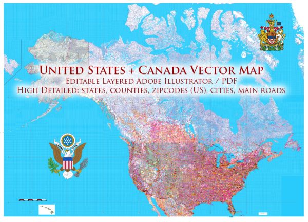
Canada and the United States share similarities in urban layouts and transportation infrastructure due to their geographic proximity and historical ties. However, there are also notable differences influenced by factors such as population density, city planning, and transportation policies. Vectormap.Net provide you with the most accurate and up-to-date vector maps in Adobe Illustrator, PDF and other formats, designed for editing and printing. Please read the vector map descriptions carefully. Below are some general characteristics:
Urban Layout:
Canada:
- Density: Canadian cities generally have lower population densities compared to many U.S. cities. Exceptions include Toronto, Vancouver, and Montreal, which have more urbanized cores.
- City Planning: Canadian cities often incorporate a mix of residential, commercial, and green spaces. Urban planning emphasizes preserving natural environments, and many cities are designed with a grid pattern, particularly in the western provinces.
- Land Use: The layout of Canadian cities may reflect a blend of historic architecture and modern developments. Some cities, like Quebec City, have preserved their historic cores, while others, like Toronto, have embraced modern skyscrapers.
United States:
- Density: U.S. cities can have higher population densities, particularly in the downtown areas of major cities like New York City and San Francisco. However, suburban sprawl is also common in many regions.
- City Planning: The U.S. has a diverse range of urban planning styles. While some cities have strict zoning regulations and land-use planning, others may have more organic growth and development, leading to variations in architecture and city layouts.
- Land Use: American cities often have a mix of architectural styles, with a focus on skyscrapers in downtown areas. The preservation of historic districts is also common, but there is generally more variation in architectural styles across different neighborhoods.
Transportation Infrastructure:
Canada:
- Public Transit: Major Canadian cities, such as Toronto, Vancouver, and Montreal, have extensive public transit systems, including buses, subways, and light rail. However, public transit infrastructure may vary in smaller cities and rural areas.
- Automobiles: Due to the vast geography and lower population density in many regions, automobiles play a significant role in transportation. Cities often have well-developed road networks, and there is a reliance on cars for commuting.
United States:
- Public Transit: Public transit systems vary widely across U.S. cities. Major cities like New York and San Francisco have extensive subway and bus networks, while some cities, especially in the Midwest and South, may rely more on automobiles.
- Automobiles: Car culture is deeply ingrained in the United States, and many cities are designed with a focus on highways and road networks. Suburban areas often have a high dependency on personal vehicles.
- Bicycles and Pedestrians: In recent years, there has been a growing emphasis on promoting cycling and pedestrian-friendly infrastructure in both Canadian and U.S. cities, with the development of bike lanes and pedestrian zones.
While both countries share certain urban and transportation characteristics, the specific layout and infrastructure of individual cities can vary significantly based on local policies, historical development, and regional priorities.


 Author: Kirill Shrayber, Ph.D. FRGS