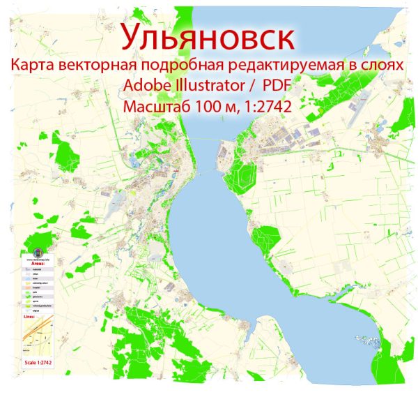
Ulyanovsk, Russia, is a city located on the Volga River. A general overview based on the information available up to that time. Vectormap.Net provide you with the most accurate and up-to-date vector maps in Adobe Illustrator, PDF and other formats, designed for editing and printing. Please read the vector map descriptions carefully.
- Volga River:
- Ulyanovsk is situated on the banks of the Volga River, one of the longest rivers in Europe. The Volga River is a significant waterway that plays a crucial role in the transportation and trade of the region.
- Bridges:
- Ulyanovsk has several bridges spanning the Volga River to facilitate transportation and connectivity between different parts of the city. Bridge designs and locations may vary, so it’s recommended to check the latest local sources or maps for specific details.
- Main Streets:
- Ulyanovsk, like any other city, has a network of streets and roads that connect various neighborhoods and districts. Some of the main streets may include those that run through the city center, connecting key landmarks, government buildings, and commercial areas. Examples of main streets might be Lenin Street (a common name in Russian cities), and others named after prominent historical or cultural figures.
- Infrastructure Changes:
- It’s important to note that cities undergo development and infrastructure changes over time. New roads, bridges, and urban planning projects may have been initiated since my last update. Local sources, city maps, and recent online resources will provide the most accurate and up-to-date information.
To get the latest and most accurate information about Ulyanovsk’s waterways, bridges, and main streets, consider checking local government websites, maps, or contacting the city’s municipal authorities. Additionally, online mapping services and travel websites may offer updated information on the city’s infrastructure.


 Author: Kirill Shrayber, Ph.D.