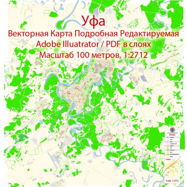
Ufa, Russia, a some general information about urban planning and transportation systems in Russian cities.
Vectormap.Net provide you with the most accurate and up-to-date vector maps in Adobe Illustrator, PDF and other formats, designed for editing and printing. Please read the vector map descriptions carefully.
Urban Layout: Russian cities typically have a mix of architectural styles, with a combination of historic buildings and more modern structures. The layout of a city like Ufa would likely include a central business district, residential areas, parks, and cultural institutions. The city’s layout might be influenced by historical factors, geographical features, and contemporary urban planning principles.
Transportation Infrastructure: Transportation in Russian cities is often supported by a combination of public and private means. This includes:
- Public Transportation:
- Metro/Subway: Some major Russian cities have metro systems, providing a fast and efficient means of transportation within the city.
- Buses and Trams: Public buses and trams are common modes of transportation, serving various routes within the city.
- Roads and Highways:
- Cities typically have a network of roads and highways connecting different parts of the urban area and facilitating the flow of traffic.
- Rail Transport:
- In addition to metro systems, cities are often connected by a network of suburban trains or other rail services.
- Airports:
- Major cities have airports connecting them to domestic and international destinations.
- Cycling Infrastructure:
- Some cities have been working on improving cycling infrastructure, including bike lanes and bike-sharing programs.
It’s important to note that the specific details of Ufa’s urban layout and transportation infrastructure may have evolved since my last update. For the most current and accurate information, I recommend checking with local government sources, transportation authorities, or recent publications about Ufa. Additionally, online maps and transportation apps can provide real-time information about the city’s layout and transportation options.


 Author: Kirill Shrayber, Ph.D.