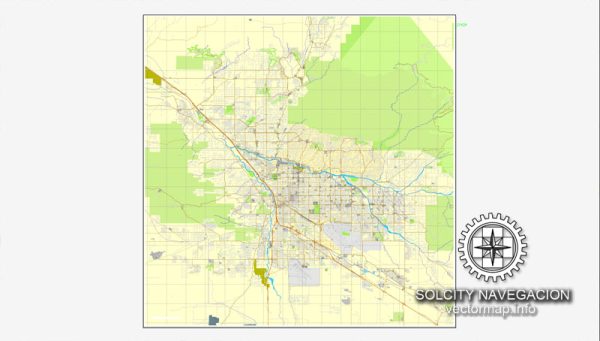
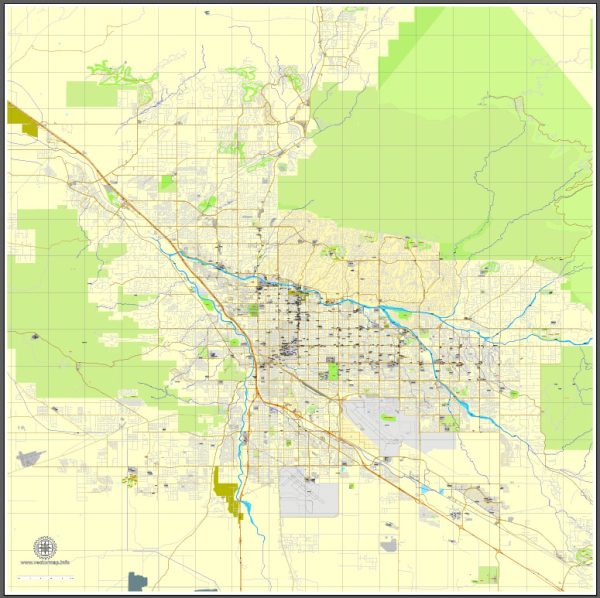
Some general information about Tucson, Arizona’s principal waterways, bridges, and main streets. Vectormap.Net provide you with the most accurate and up-to-date vector maps in Adobe Illustrator, PDF and other formats, designed for editing and printing. Please read the vector map descriptions carefully.
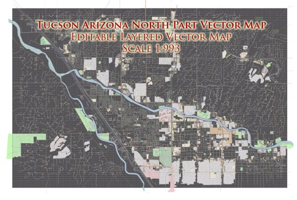
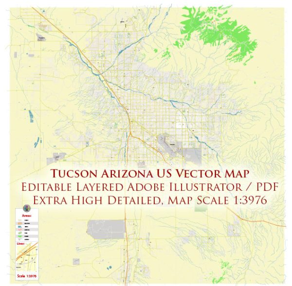
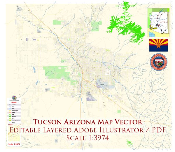
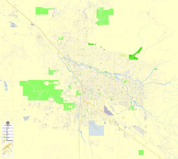
Waterways: Tucson is located in a desert region, and major waterways are limited. The Santa Cruz River runs through Tucson, but its flow is intermittent, with periods of seasonal runoff. The city relies on groundwater and imported water to meet its water needs.
Bridges: Tucson has various bridges that facilitate transportation across the city. Notable bridges may include those spanning the Santa Cruz River and other washes. Some of these bridges are essential for connecting different parts of the city, especially during the rare instances of heavy rainfall when waterways experience increased flow.
Main Streets: Tucson’s road network includes several main streets that serve as major arteries for transportation within the city. Some of the key streets in Tucson include:
- Oracle Road: A major north-south thoroughfare, running through the central part of the city.
- Broadway Boulevard: An east-west corridor that spans across Tucson, connecting the eastern and western parts of the city.
- Speedway Boulevard: Another important east-west street, located just north of Broadway Boulevard.
- Stone Avenue: Running north-south, it intersects with Speedway Boulevard and provides access to various neighborhoods.
- Campbell Avenue: Another north-south street, located to the east of Oracle Road.
- 6th Avenue: Parallel to Stone Avenue, it is another north-south route.
- Grant Road: An east-west thoroughfare, located to the north of Speedway Boulevard.
Please note that the development of the city’s infrastructure and road network is ongoing, so there may be new roads or changes in the layout of existing ones. For the most up-to-date and detailed information, it’s recommended to consult local maps, the city’s transportation department, or official sources.

 Author: Kirill Shrayber, Ph.D. FRGS