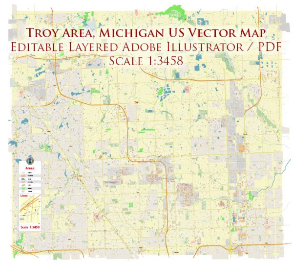
A general overview of the waterways, bridges, and main streets in Troy, Michigan. Vectormap.Net provide you with the most accurate and up-to-date vector maps in Adobe Illustrator, PDF and other formats, designed for editing and printing. Please read the vector map descriptions carefully.
Waterways: Troy, Michigan, is not directly situated along major rivers or lakes. However, there are smaller water bodies and creeks in and around the city, contributing to its overall landscape.
Bridges: Troy has numerous bridges that span over various roadways, connecting different parts of the city. Notable bridges may include those crossing the various water bodies, such as the Clinton River or smaller creeks. Bridge locations can be critical for traffic flow and overall connectivity in the city.
Main Streets: Troy has a well-developed road infrastructure with several main streets that facilitate transportation within the city. Some of the main roads and thoroughfares in Troy include:
- Big Beaver Road: Also known as 16 Mile Road, it is a major east-west artery running through Troy and is home to many businesses, offices, and shopping centers.
- Rochester Road: This north-south road is another significant route, connecting Troy to neighboring communities. It hosts various commercial and residential areas.
- Crooks Road: Running north-south, Crooks Road is an essential transportation route in Troy, providing access to various neighborhoods and commercial districts.
- Maple Road: Serving as another east-west corridor, Maple Road plays a crucial role in connecting different parts of Troy.
- Livernois Road: Livernois is an important road that runs through Troy and connects it to other communities. It also features various businesses and services.
It’s important to check for any recent developments or changes in the city’s infrastructure, as urban planning and construction projects can impact the layout of waterways, bridges, and main streets over time. For the most current and detailed information, consider reaching out to the City of Troy’s local government or consulting updated maps and resources.


 Author: Kirill Shrayber, Ph.D. FRGS