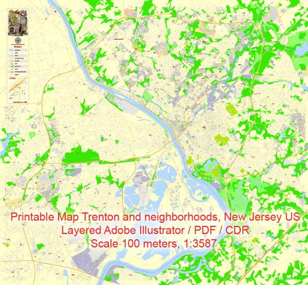
A general overview of Trenton, New Jersey’s principal waterways, bridges, and main streets. Vectormap.Net provide you with the most accurate and up-to-date vector maps in Adobe Illustrator, PDF and other formats, designed for editing and printing. Please read the vector map descriptions carefully.
Waterways:
- Delaware River: Trenton is situated along the eastern bank of the Delaware River, which serves as a major waterway for the city and the region.
Bridges:
- Lower Trenton Bridge (Trenton Makes Bridge): This iconic bridge spans the Delaware River, connecting Trenton, New Jersey, and Morrisville, Pennsylvania. It is known for the large sign that reads “Trenton Makes, The World Takes.”
- Calhoun Street Bridge: Another important bridge in Trenton, it connects the city to Morrisville, Pennsylvania, as well.
Main Streets:
- State Street: State Street is one of the main thoroughfares in Trenton, running through the heart of the city and passing by important government buildings, including the New Jersey State Capitol.
- Broad Street: Broad Street is another significant thoroughfare, intersecting with State Street and passing through various neighborhoods in Trenton.
- Warren Street: This street runs parallel to the Delaware River and is situated near important government and historical buildings.
- South Broad Street: Running south from the downtown area, South Broad Street is a key route connecting different parts of the city.
Please note that the city’s infrastructure may have changed, and new developments could have occurred since my last update. For the most current and detailed information, consider checking with local authorities, city planning departments, or online maps.


 Author: Kirill Shrayber, Ph.D. FRGS