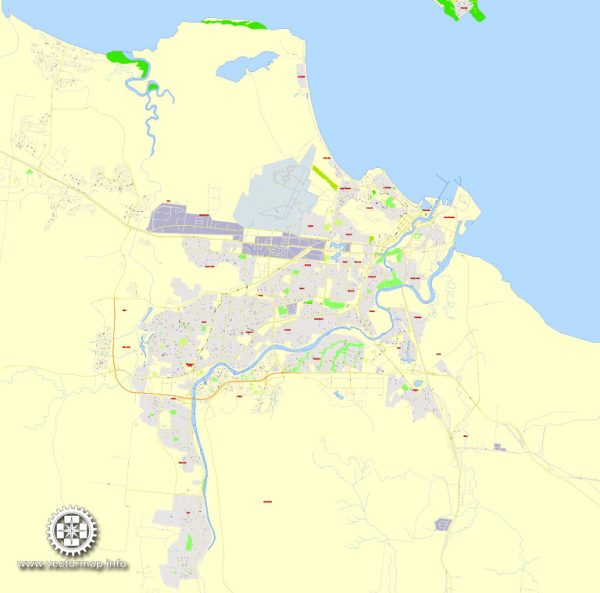
Some general information about Townsville, Australia, including its principal waterways, bridges, and main streets. Vectormap.Net provide you with the most accurate and up-to-date vector maps in Adobe Illustrator, PDF and other formats, designed for editing and printing. Please read the vector map descriptions carefully.
Principal Waterways:
- Ross River: This river runs through the city and is a significant waterway in Townsville. The Ross River Dam, located upstream, is an important water source for the region.
- Cleveland Bay: Townsville is situated on the shores of Cleveland Bay, which is part of the larger Coral Sea. The bay plays a role in the city’s maritime activities and provides access to the Great Barrier Reef.
Bridges:
- Victoria Bridge: This bridge spans the Ross River, connecting the suburbs of Townsville on either side. It’s a vital transportation link for the city.
- Aplin’s Weir Bridge: Located on the Ross River, this bridge serves both vehicular and pedestrian traffic and is part of the city’s infrastructure.
Main Streets:
- Flinders Street: Often considered the main street of Townsville, Flinders Street is a vibrant thoroughfare lined with shops, restaurants, and cafes. It is a popular destination for locals and visitors alike.
- Sturt Street: Another important street in the city, Sturt Street is known for its historical buildings, businesses, and cultural institutions.
- Ross River Road: This road runs along the banks of the Ross River and is a key transportation route in Townsville, connecting various suburbs.
- Palmer Street: Located in the South Townsville precinct, Palmer Street is known for its dining and entertainment options, making it a lively area in the city.
Please note that developments may have occurred since my last update, and it’s recommended to check more recent sources for the latest information on Townsville’s infrastructure.


 Author: Kirill Shrayber, Ph.D.