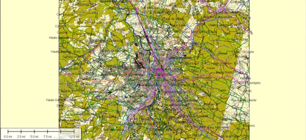
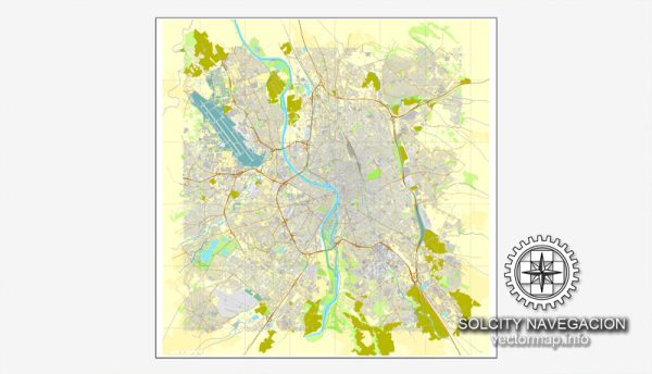
A general overview of the principal waterways, bridges, and main streets in Toulouse, France. Vectormap.Net provide you with the most accurate and up-to-date vector maps in Adobe Illustrator, PDF and other formats, designed for editing and printing. Please read the vector map descriptions carefully.
Waterways:
- Garonne River: Toulouse is situated on the banks of the Garonne River, one of the major waterways in the region. The river plays a significant role in the city’s geography and history.
- Canal du Midi: This historic canal, a UNESCO World Heritage Site, connects the Garonne River to the Mediterranean Sea. It passes through Toulouse, and its banks are often used for leisure activities and strolls.
Bridges:
- Pont Neuf: Translated as “New Bridge,” Pont Neuf is actually the oldest bridge in Toulouse. It spans the Garonne River and connects the city center to the St. Cyprien district.
- Pont Saint-Pierre: This bridge crosses the Garonne River and connects the Place Saint-Pierre to the Hospice de la Grave.
- Pont Saint-Michel: Another bridge over the Garonne, Pont Saint-Michel connects the St. Cyprien district to the left bank of the river.
Main Streets:
- Capitole Square (Place du Capitole): The Capitole Square is at the heart of Toulouse and is surrounded by important buildings, including the Capitole de Toulouse (City Hall).
- Rue d’Alsace-Lorraine: This is a major street in the city center, lined with shops, cafes, and restaurants. It connects the Capitole Square to the train station.
- Allées Jean-Jaurès: These wide boulevards run through the city and are known for their shops, theaters, and vibrant atmosphere.
- Rue de Metz: A charming street in the Carmes district, known for its historic architecture, boutiques, and cafes.
Please note that developments and changes in infrastructure may have occurred since my last update, so it’s always a good idea to check more recent sources for the latest information on Toulouse’s waterways, bridges, and main streets.


 Author: Kirill Shrayber, Ph.D. FRGS