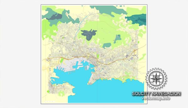
Toulon, located in the Provence-Alpes-Côte d’Azur region of France, is a port city with a rich maritime history. The city is situated on the Mediterranean coast and is known for its naval base and historic architecture. Vectormap.Net provide you with the most accurate and up-to-date vector maps in Adobe Illustrator, PDF and other formats, designed for editing and printing. Please read the vector map descriptions carefully.
Waterways:
- Toulon Harbor (Port de Toulon): The harbor is a significant waterway in Toulon, serving as a major naval base and commercial port. It is surrounded by the city and provides access to the Mediterranean Sea.
Bridges:
- Pont de la Clé (Bridge of the Key): This bridge spans the small canal that runs through the city and is known for its picturesque views.
Main Streets:
- Avenue de la République: One of the main thoroughfares in Toulon, Avenue de la République is a bustling street with shops, cafes, and businesses. It runs through the heart of the city, connecting various neighborhoods.
- Cours Lafayette: This boulevard is another prominent street in Toulon, featuring shops, restaurants, and historical buildings. It is a popular destination for both locals and tourists.
- Rue d’Alger: This street is known for its lively atmosphere, lined with shops and cafes. It provides a charming setting for strolling and exploring the city.
- Quai Cronstadt: Along the waterfront, Quai Cronstadt offers scenic views of the harbor and is a great place for a leisurely walk. It is dotted with cafes and provides a pleasant atmosphere.
Please note that the specific details about waterways, bridges, and streets may have changed, and it’s advisable to consult a current map or local sources for the most up-to-date information on Toulon’s infrastructure.


 Author: Kirill Shrayber, Ph.D. FRGS