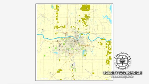
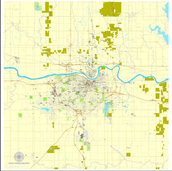
A general overview of Topeka, Kansas’s principal waterways, bridges, and main streets based on historical information. Vectormap.Net provide you with the most accurate and up-to-date vector maps in Adobe Illustrator, PDF and other formats, designed for editing and printing. Please read the vector map descriptions carefully.
Waterways: Topeka, the capital city of Kansas, is situated along the Kansas River. The Kansas River flows eastward through the city, and its presence has historically played a crucial role in the development and growth of Topeka.
Bridges: Several bridges span the Kansas River in the Topeka area, facilitating transportation and connectivity. Some of the significant bridges in Topeka include:
- Topeka Boulevard Bridge: This bridge connects the north and south parts of Topeka over the Kansas River.
- Cyrus K. Holliday Bridge: Previously known as the Sardou Bridge, it is another important structure in Topeka, providing a crossing over the Kansas River.
- Interstate 70 Bridges: As part of the Interstate 70 highway system, there are bridges that cross the Kansas River in Topeka.
Main Streets: Topeka has a grid-like street layout, and several streets are essential for navigation and serve as main arteries for the city. Some of the main streets in Topeka include:
- Kansas Avenue: Running north to south through downtown Topeka, Kansas Avenue is a central and historic street with shops, businesses, and government buildings.
- Topeka Boulevard: Another significant north-south thoroughfare, Topeka Boulevard is an important route for both local and through traffic.
- 6th Avenue: Running east to west, 6th Avenue is one of the major streets in Topeka, providing access to various neighborhoods and commercial areas.
- 10th Avenue: Similar to 6th Avenue, 10th Avenue is an east-west street with significance for local transportation.
Please note that the information provided is based on historical data, and changes may have occurred since then. For the most accurate and up-to-date information, you may want to consult local maps, navigation apps, or the city’s official website.


 Author: Kirill Shrayber, Ph.D. FRGS