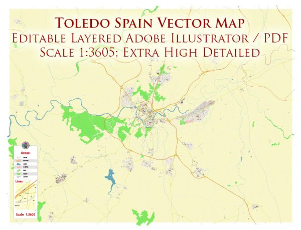
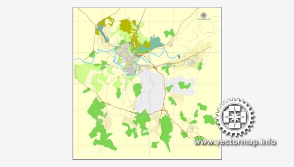
Toledo, Spain, is a historic city known for its rich cultural heritage and medieval architecture. The city is situated on a hill above the Tagus River in central Spain. Here’s a brief description of some of the principal waterways, bridges, and main streets in Toledo:
Waterways:
- Tagus River (Río Tajo): The Tagus River is the most significant waterway near Toledo. The city is strategically located on a hill overlooking the river, providing stunning panoramic views.
Bridges:
- Puente de Alcántara: This is one of the historic bridges in Toledo, crossing the Tagus River. The Puente de Alcántara has Roman origins but has been reconstructed multiple times throughout history.
- Puente de San Martín: Another iconic bridge, the Puente de San Martín spans the Tagus River on the western side of Toledo. It offers breathtaking views of the city and is characterized by its medieval architecture.
- Puente de Alcázar: This bridge connects the Alcázar (fortress) with the opposite bank of the Tagus River. It provides access to the Alcázar, a significant historical and architectural landmark in Toledo.
Main Streets:
- Calle del Comercio: This street is one of the main commercial arteries in Toledo, lined with shops, boutiques, and cafes. It is a bustling area, perfect for exploring local businesses.
- Calle del Ángel: Known for its charming atmosphere, Calle del Ángel is a picturesque street featuring medieval buildings, restaurants, and artisan shops. It leads towards the Cathedral of Toledo.
- Calle de la Ciudad: This street runs through the heart of Toledo and is characterized by its historical architecture and vibrant atmosphere. It connects several key landmarks and is ideal for a leisurely stroll.
- Calle Real del Arrabal: This street is part of the historic Jewish Quarter (Judería) and is known for its narrow alleys, charming houses, and cultural significance. It reflects Toledo’s diverse history.
Toledo’s layout is characterized by its winding streets and alleys, which add to the city’s medieval charm. Exploring the waterways, bridges, and main streets provides visitors with a glimpse into the city’s fascinating history and architectural beauty.
Vectormap.Net provide you with the most accurate and up-to-date vector maps in Adobe Illustrator, PDF and other formats, designed for editing and printing. Please read the vector map descriptions carefully.


 Author: Kirill Shrayber, Ph.D. FRGS