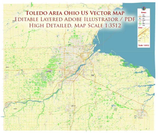
Toledo, Ohio, is located in the northwestern part of the state and is known for its strategic location along the western end of Lake Erie. The city has several principal waterways, bridges, and main streets that contribute to its infrastructure and connectivity. Vectormap.Net provide you with the most accurate and up-to-date vector maps in Adobe Illustrator, PDF and other formats, designed for editing and printing. Please read the vector map descriptions carefully.
Principal Waterways:
- Maumee River: The Maumee River is a significant waterway in Toledo. It flows through the downtown area and plays a crucial role in the city’s history and economy. The river is navigable and has been an essential transportation route for trade and commerce.
Bridges:
- Anthony Wayne Bridge: Also known as the High-Level Bridge, the Anthony Wayne Bridge spans the Maumee River, connecting downtown Toledo to the east side of the city. It is a prominent landmark with a distinctive arch design.
- Martin Luther King, Jr. Bridge: This bridge also crosses the Maumee River and connects downtown Toledo to the north side. It provides a key route for transportation and offers scenic views of the river and the city.
Main Streets:
- Summit Street: Summit Street is a major thoroughfare in Toledo, running north-south through the downtown area. It intersects with many important streets and provides access to key destinations.
- Jackson Street: Jackson Street is another significant downtown street, intersecting with Summit Street and connecting to various businesses, offices, and residential areas.
- Monroe Street: Monroe Street is an east-west thoroughfare that passes through both commercial and residential areas. It is well-traveled and provides access to shopping, dining, and entertainment options.
- Collingwood Boulevard: Collingwood Boulevard is known for its historic homes and is a scenic route in Toledo. It runs parallel to the Maumee River and is often used for residential and leisurely drives.
These are just a few examples, and Toledo has a network of streets and avenues that contribute to its urban layout. For the most up-to-date and detailed information, it is recommended to refer to local maps or navigation tools.


 Author: Kirill Shrayber, Ph.D. FRGS