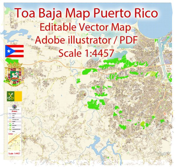
Toa Baja, Puerto Rico, some general information about the municipality based on typical urban infrastructure.
Vectormap.Net provide you with the most accurate and up-to-date vector maps in Adobe Illustrator, PDF and other formats, designed for editing and printing. Please read the vector map descriptions carefully.
Waterways: Toa Baja is located along the northern coast of Puerto Rico and is characterized by its proximity to bodies of water such as the Atlantic Ocean. The municipality may have various rivers, estuaries, and channels. The specific waterways can include the Rio La Plata and other smaller rivers and streams.
Bridges: Toa Baja likely has several bridges to facilitate transportation across its water bodies. These bridges may vary in size and type, ranging from small overpasses to larger structures that span rivers or estuaries.
Main Streets: The layout of main streets in Toa Baja may follow a typical urban pattern, with a combination of residential, commercial, and industrial areas. Some streets may be more prominent in terms of traffic and commerce, serving as central arteries for the municipality. Specific names of main streets can include Avenida Comerío, Calle Martínez Nadal, and others.
For the most accurate and up-to-date information regarding the principal waterways, bridges, and main streets in Toa Baja, it’s recommended to consult local municipal authorities, maps, or online resources specific to the region. Additionally, local government offices or municipal websites may provide detailed infrastructure maps.


 Author: Kirill Shrayber, Ph.D. FRGS