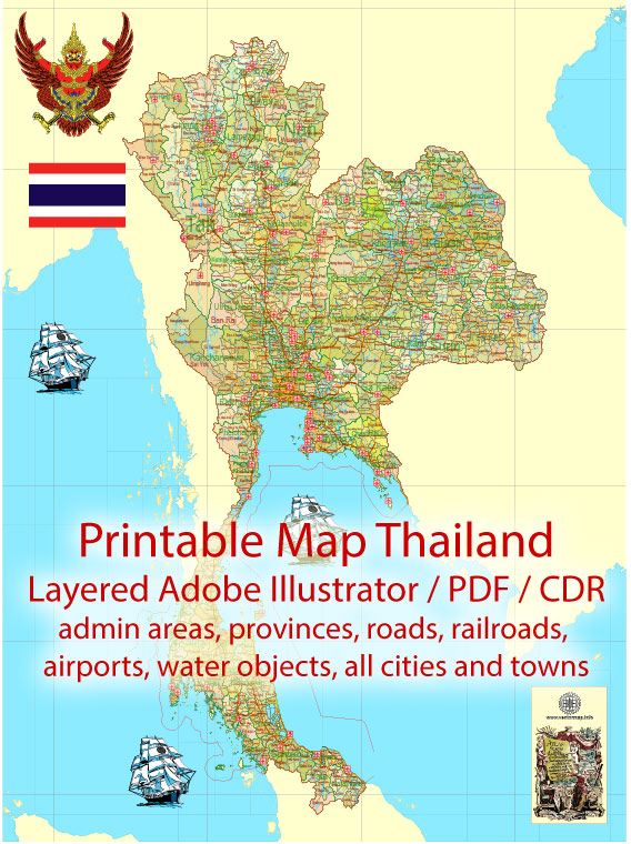
Some of the principal cities, waterways, and main roads in Thailand. Vectormap.Net provide you with the most accurate and up-to-date vector maps in Adobe Illustrator, PDF and other formats, designed for editing and printing. Please read the vector map descriptions carefully.
Principal Cities:
- Bangkok: The capital and largest city of Thailand, located in the central part of the country. It is a major economic and cultural hub.
- Chiang Mai: Located in northern Thailand, Chiang Mai is known for its rich history, temples, and vibrant cultural scene. It’s a popular destination for tourists.
- Phuket: An island province in the south of Thailand, known for its stunning beaches, vibrant nightlife, and water activities.
- Pattaya: A popular resort city located on the Gulf of Thailand, known for its beaches, entertainment, and nightlife.
- Krabi: Another southern province known for its picturesque landscapes, including limestone cliffs, clear waters, and islands.
Waterways:
- Chao Phraya River: Running through Bangkok, the Chao Phraya is a major river that plays a significant role in the transportation and irrigation of the region.
- Mae Klong River: Flowing through western Thailand, the Mae Klong River is important for agriculture and transportation.
- Ping River: A major tributary of the Chao Phraya River, the Ping River flows through northern Thailand.
- Gulf of Thailand: The Gulf of Thailand is the body of water that borders the southeastern part of the country. It’s known for its beautiful islands and coastal areas.
Main Roads:
- Phahonyothin Road: A major north-south highway, connecting Bangkok to northern Thailand.
- Sukhumvit Road: Running through Bangkok and extending to the east, Sukhumvit Road is a major thoroughfare lined with businesses, hotels, and shopping centers.
- Ratchadamnoen Avenue: Located in the heart of Bangkok, this avenue is known for its historical and political significance.
- Mittraphap Road: Connecting Bangkok to the northeast, Mittraphap Road is an important highway for transportation and trade.
- Phetkasem Road: Stretching from Bangkok to the south, Phetkasem Road is a major route that passes through various provinces and coastal areas.


 Author: Kirill Shrayber, Ph.D. FRGS