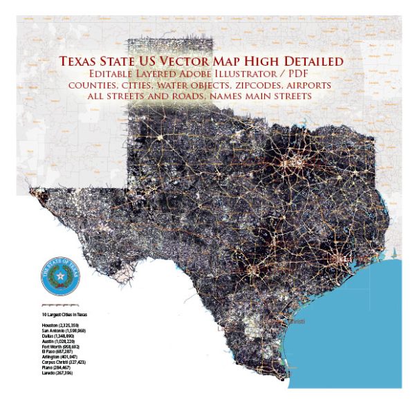
A general description of the principal waterways and railroads in Texas, USA. Please note that specific details may have changed since then, and it’s advisable to consult more recent sources for the latest information.
Waterways:
- Rio Grande River: Forms the border between Texas and Mexico, flowing from the western part of the state to the Gulf of Mexico.
- Red River: Marks the northern boundary between Texas and Oklahoma, flowing eastward into Arkansas and Louisiana.
- Sabine River: Forms part of the eastern border between Texas and Louisiana, flowing into Sabine Lake and the Gulf of Mexico.
- Brazos River: Flows southeast across Texas, ultimately emptying into the Gulf of Mexico.
- Colorado River: Runs through the central part of the state, flowing southeastward and emptying into the Gulf of Mexico.
- Trinity River: Flows through eastern Texas, draining into Trinity Bay.
- Houston Ship Channel: A heavily used artificial waterway that connects the port of Houston to the Gulf of Mexico.
Railroads:
- Union Pacific Railroad: One of the major Class I railroads in the United States, it operates extensively in Texas.
- BNSF Railway: Another major Class I railroad, the BNSF Railway has a significant presence in Texas.
- Kansas City Southern Railway: Operates in the southern part of Texas, connecting to Mexico.
- Amtrak: Provides passenger rail service in Texas, including routes such as the Texas Eagle.
- Dallas Area Rapid Transit (DART): While primarily a commuter rail system, DART contributes to the rail infrastructure in the Dallas-Fort Worth metroplex.
- Metropolitan Transit Authority of Harris County (METRO): Operates light rail lines in the Houston area.
- Trinity Railway Express (TRE): Connects Dallas and Fort Worth, providing commuter rail service.
These waterways and railroads play a crucial role in facilitating transportation, trade, and commerce in Texas, contributing to the state’s economic development and connectivity. Vectormap.Net provide you with the most accurate and up-to-date vector maps in Adobe Illustrator, PDF and other formats, designed for editing and printing. Please read the vector map descriptions carefully.


 Author: Kirill Shrayber, Ph.D.