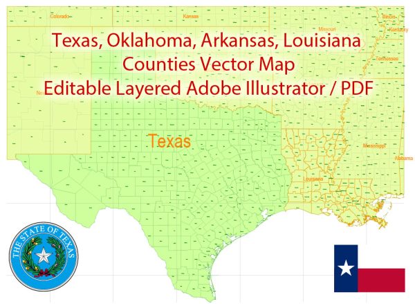
Sure, let’s take a look at Texas and Louisiana, including some of their principal cities, waterways, and main roads.
Vectormap.Net provide you with the most accurate and up-to-date vector maps in Adobe Illustrator, PDF and other formats, designed for editing and printing. Please read the vector map descriptions carefully.
Texas:
Principal Cities:
- Houston: The largest city in Texas and the fourth-largest in the U.S., known for its energy industry and diverse cultural scene.
- Dallas: A major business and cultural hub, known for its thriving economy and the Dallas-Fort Worth metroplex.
- Austin: The state capital, renowned for its live music scene, technology industry, and the University of Texas.
- San Antonio: Famous for the historic Alamo, the River Walk, and a rich colonial heritage.
- Fort Worth: Part of the Dallas-Fort Worth metroplex, it has a strong cultural scene, including the Fort Worth Stockyards.
Waterways:
- Rio Grande: Forms a natural border between Texas and Mexico.
- Colorado River: Flows through central Texas, providing water for agriculture and recreation.
- Brazos River: One of the longest rivers in the U.S., running through central Texas.
Main Roads:
- Interstate 35 (I-35): Connects major cities like Dallas, Austin, and San Antonio.
- Interstate 10 (I-10): Runs east-west, connecting Houston and San Antonio with the western part of the U.S.
- Interstate 45 (I-45): Connects Dallas and Houston.
- U.S. Route 83 (US 83): Runs north-south through the state.
Louisiana:
Principal Cities:
- New Orleans: Famous for its vibrant culture, music, and annual Mardi Gras celebrations.
- Baton Rouge: The state capital and home to Louisiana State University (LSU).
- Shreveport: Located in the northwest, a hub for the oil industry and cultural events.
- Lafayette: Known for its Cajun culture, music, and cuisine.
- Lake Charles: A major petrochemical refining center in the state.
Waterways:
- Mississippi River: Forms the eastern border of the state, vital for trade and transportation.
- Red River: Marks the northern border, flowing into the Mississippi River.
Main Roads:
- Interstate 10 (I-10): Runs through the southern part of the state, connecting New Orleans and Baton Rouge.
- Interstate 20 (I-20): Crosses the northern part of the state, connecting Shreveport and Monroe.
- Interstate 49 (I-49): Connects Shreveport with Lafayette and New Orleans (partially completed).
- U.S. Route 90 (US 90): Runs parallel to I-10, connecting New Orleans with Lafayette and Lake Charles.
These descriptions provide a brief overview, and both states have a rich cultural and historical heritage with diverse geographical features.


 Author: Kirill Shrayber, Ph.D. FRGS