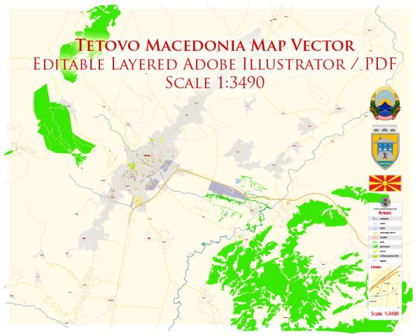
Tetovo, Macedonia’s infrastructure include a wide range of elements such as transportation, utilities, communication networks, and public facilities.
Vectormap.Net provide you with the most accurate and up-to-date vector maps in Adobe Illustrator, PDF and other formats, designed for editing and printing. Please read the vector map descriptions carefully.
A general overview based on common features found in the Tetovo:
- Transportation:
- Roads: Tetovo likely has a network of roads connecting different parts of the city and providing links to other regions.
- Public Transportation: Public transportation options such as buses or minibusses may operate within the city, offering residents and visitors a means of commuting.
- Utilities:
- Water and Sewerage: Tetovo would have a system for the supply of clean water and the management of wastewater.
- Electricity: An electrical grid provides power to homes, businesses, and public spaces.
- Communication Networks:
- Telecommunications: Tetovo is expected to have a well-established telecommunications infrastructure, including telephone lines, internet services, and mobile networks.
- Public Facilities:
- Educational Institutions: Schools and universities contribute to the educational infrastructure of the city.
- Healthcare Facilities: Hospitals and clinics provide healthcare services to residents.
- Government Buildings: Administrative centers and government offices are essential components of the city’s infrastructure.
- Cultural and Recreational Facilities:
- Parks and Recreation Areas: Public spaces for leisure and recreation contribute to the quality of life.
- Cultural Institutions: Museums, theaters, and other cultural venues may be present in the city.
- Commercial and Residential Zones:
- Commercial Areas: Tetovo would likely have commercial districts with shops, markets, and businesses.
- Residential Areas: Different neighborhoods and residential zones cater to the housing needs of the population.
For the latest and most detailed information about Tetovo’s infrastructure, including any recent developments or changes, I recommend checking with local government authorities, municipal websites, or official publications. Additionally, you may find information from local news sources, community organizations, or city planning departments.


 Author: Kirill Shrayber, Ph.D. FRGS