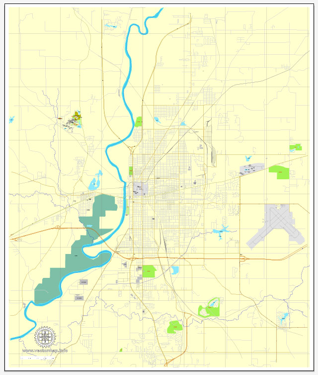
Some general information about Terre Haute, Indiana. Vectormap.Net provide you with the most accurate and up-to-date vector maps in Adobe Illustrator, PDF and other formats, designed for editing and printing. Please read the vector map descriptions carefully.
Waterways: The Wabash River is a significant waterway in the Terre Haute area. It flows along the western edge of the city and serves as a natural boundary between Indiana and Illinois. The river has historically played a crucial role in transportation and commerce in the region.
Bridges: Several bridges span the Wabash River in and around Terre Haute, facilitating transportation and connectivity between the two states. The conditions and specifics of these bridges may change over time, so it’s advisable to check with local authorities or transportation departments for the latest information.
Main Streets: Downtown Terre Haute is the central business district with various main streets and thoroughfares. Wabash Avenue is one of the primary streets in downtown Terre Haute and is known for its shops, restaurants, and businesses. Other important streets in the city include U.S. Route 41, U.S. Route 150, and State Road 46, which contribute to the overall transportation infrastructure.
For the most accurate and current information about waterways, bridges, and main streets in Terre Haute, I recommend reaching out to local government offices, the Indiana Department of Transportation, or other relevant authorities in the area. They can provide specific details and updates on infrastructure developments and changes in the region.


 Author: Kirill Shrayber, Ph.D. FRGS