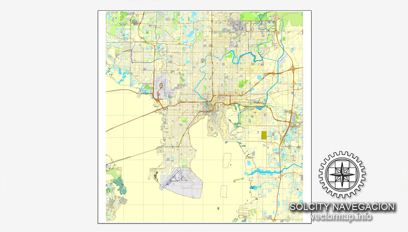
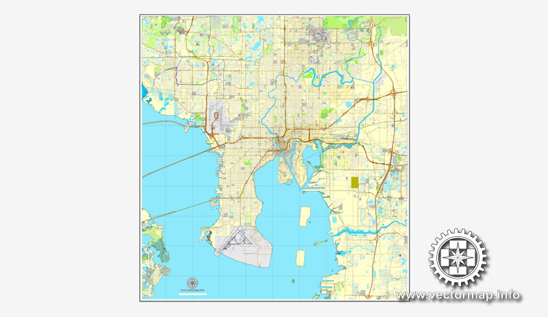
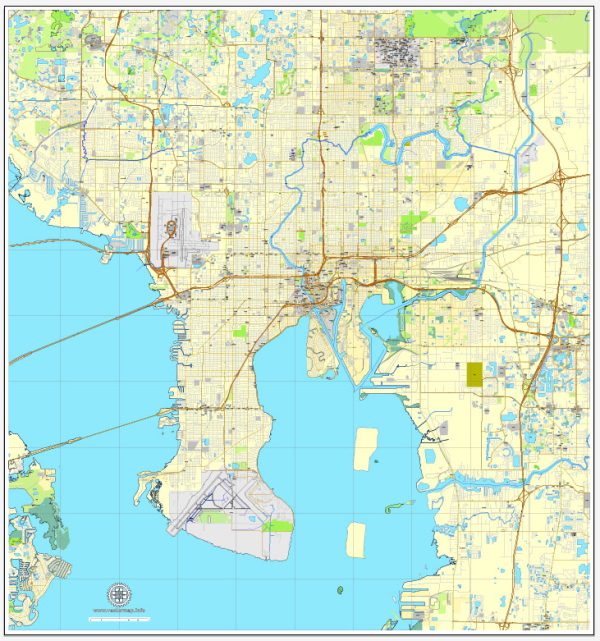
Tampa, Florida, is located on the west coast of the state and is known for its vibrant culture, diverse neighborhoods, and access to the Gulf of Mexico. Here’s an overview of some principal waterways, bridges, and main streets and roads in the Tampa area:
Waterways:
- Hillsborough River: The Hillsborough River runs through the heart of Tampa and is a central feature of many parks and recreational areas, including the Tampa Riverwalk.
- Tampa Bay: The city is situated on the shores of Tampa Bay, a large estuary connected to the Gulf of Mexico. The bay is a significant water body, hosting various activities, including boating and fishing.
- Port of Tampa: As one of the largest seaports in Florida, the Port of Tampa is a major gateway for cargo and cruise ships. It is located along the eastern side of Tampa Bay.
Bridges:
- Tampa Bay Bridges:
- Howard Frankland Bridge: Connects Tampa and St. Petersburg across Old Tampa Bay.
- Gandy Bridge: Connects Tampa and St. Petersburg across the southern part of Old Tampa Bay.
- Courtney Campbell Causeway: Spans Old Tampa Bay, connecting Tampa and Clearwater.
- Downtown Bridges:
- Tampa Riverwalk Bridges: Various pedestrian bridges along the Tampa Riverwalk, providing scenic views of the Hillsborough River.
Main Streets and Roads:
- Kennedy Boulevard: One of the main east-west thoroughfares in Tampa, running through downtown and the Westshore business district.
- Dale Mabry Highway: A major north-south artery, known for its commercial establishments, including shopping centers and restaurants.
- Interstate 275 (I-275): The primary interstate highway serving the Tampa Bay area, connecting Tampa with St. Petersburg and beyond.
- Interstate 4 (I-4): An east-west interstate highway that connects Tampa with Orlando and the central part of the state.
- Florida Avenue: A north-south road running through downtown Tampa, connecting various neighborhoods and business districts.
- Selmon Expressway (SR 618): A tolled expressway providing a quick route from downtown Tampa to the suburbs and the eastern part of the city.
- Channelside Drive: Located near the Port of Tampa and the Channelside Bay Plaza, this road is known for its entertainment and dining options.
These are just a few key features of Tampa’s infrastructure. Keep in mind that the city’s layout and road systems may evolve over time, so it’s advisable to check for the latest information if you need specific details for navigation or planning purposes.
Vectormap.Net provide you with the most accurate and up-to-date vector maps in Adobe Illustrator, PDF and other formats, designed for editing and printing. Please read the vector map descriptions carefully.


 Author: Kirill Shrayber, Ph.D. FRGS