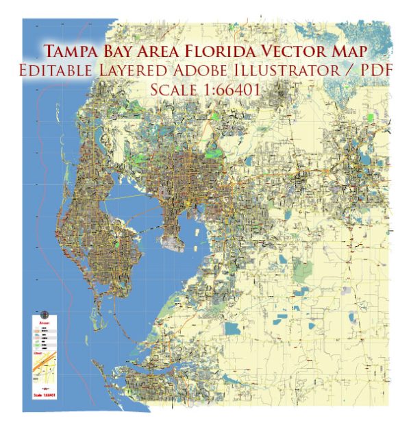
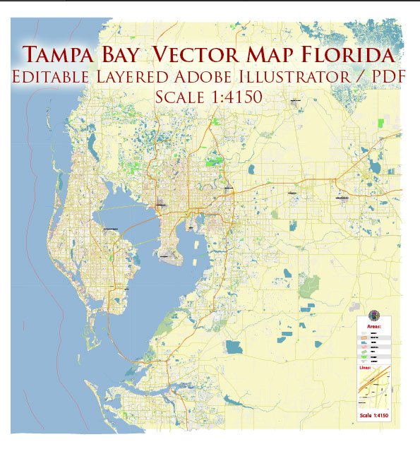
Tampa Bay, located on the west coast of Florida, is a vibrant region with several principal cities, waterways, and main roads. Here’s a brief description of some key elements:
Principal Cities:
- Tampa:
- Tampa is the largest city in the Tampa Bay area and serves as the economic and cultural hub.
- It is known for its diverse population, cultural events, and business districts.
- Notable areas include Downtown Tampa, Ybor City (historic district), and Channelside.
- St. Petersburg:
- Located on the Pinellas Peninsula, across the bay from Tampa, St. Petersburg is known for its beautiful waterfront and art scene.
- The downtown area boasts museums, galleries, and the popular Salvador Dalí Museum.
- Clearwater:
- Clearwater is known for its stunning beaches, including Clearwater Beach, consistently ranked among the best in the U.S.
- The city also features the Clearwater Marine Aquarium and vibrant entertainment areas.
Waterways:
- Tampa Bay:
- A large natural harbor, Tampa Bay is the focal point of the region, connecting the cities of Tampa, St. Petersburg, and Clearwater.
- It provides recreational opportunities, including boating and fishing.
- Hillsborough River:
- Running through Tampa, the Hillsborough River is a scenic waterway offering parks and trails, including the Tampa Riverwalk.
- Old Tampa Bay:
- To the west of Tampa, Old Tampa Bay is an estuary with mangrove islands, providing habitats for diverse wildlife.
Main Roads:
- Interstate 275 (I-275):
- Connects Tampa and St. Petersburg, providing a crucial transportation link across the bay.
- Interstate 4 (I-4):
- Runs east-west through Tampa, connecting it to Orlando and the east coast of Florida.
- U.S. Route 19 (US 19):
- A major north-south highway running through the Tampa Bay area, connecting various cities and suburbs.
- State Road 60 (SR 60):
- Connects Tampa to the Gulf Coast beaches and runs through the heart of Clearwater.
- Veterans Expressway (SR 589):
- A toll road providing a quick north-south route between Tampa and northern suburbs.
- Courtney Campbell Causeway:
- Connects Tampa and Clearwater, offering scenic views over Old Tampa Bay.
- Howard Frankland Bridge:
- Part of I-275, this bridge spans Old Tampa Bay, connecting Tampa and St. Petersburg.
These principal cities, waterways, and main roads collectively contribute to the dynamic and accessible nature of the Tampa Bay region.
Vectormap.Net provide you with the most accurate and up-to-date vector maps in Adobe Illustrator, PDF and other formats, designed for editing and printing. Please read the vector map descriptions carefully.


 Author: Kirill Shrayber, Ph.D. FRGS