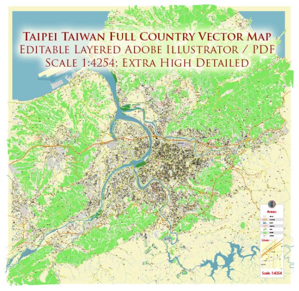
A general overview of Taipei’s principal waterways, bridges, and main streets. Vectormap.Net provide you with the most accurate and up-to-date vector maps in Adobe Illustrator, PDF and other formats, designed for editing and printing. Please read the vector map descriptions carefully.
Principal Waterways:
- Danshui River (Tamsui River): One of the major rivers flowing through Taipei, the Danshui River, is an important waterway in northern Taiwan. It passes through the city, providing scenic views and recreational opportunities along its banks.
- Keelung River: Another significant river in Taipei, the Keelung River, flows through the eastern part of the city. It is known for its role in the city’s drainage system and contributes to the overall landscape.
Bridges:
- Zhongxiao Bridge: This bridge spans the Danshui River and connects the districts of Zhongshan and Neihu. It is an important transportation link in Taipei.
- Dazhi Bridge: Located in the northern part of Taipei, Dazhi Bridge crosses the Keelung River and connects the Zhongshan and Songshan districts.
- Xindian River Bridges: Various bridges span the Xindian River, a tributary of the Danshui River, providing connectivity in different parts of the city.
Main Streets:
- Zhongxiao Road (Chung Hsiao Road): One of Taipei’s major thoroughfares, Zhongxiao Road, runs through the heart of the city and is known for its shopping districts, restaurants, and commercial establishments.
- Ren’ai Road (Renai Road): This road is located in the Da’an District and is known for its cultural and recreational facilities, including parks, theaters, and museums.
- Xinyi Road: Connecting the eastern and western parts of Taipei, Xinyi Road is a significant street lined with shopping malls, office buildings, and cultural venues. The iconic Taipei 101 skyscraper is also situated along this road.
- Minquan East Road: Running through the eastern part of Taipei, Minquan East Road is a major thoroughfare with a mix of residential and commercial areas.
It’s important to note that Taipei is a dynamic city, and urban development may result in changes to its infrastructure. For the most up-to-date information, consider checking with local sources or official city planning departments.


 Author: Kirill Shrayber, Ph.D. FRGS