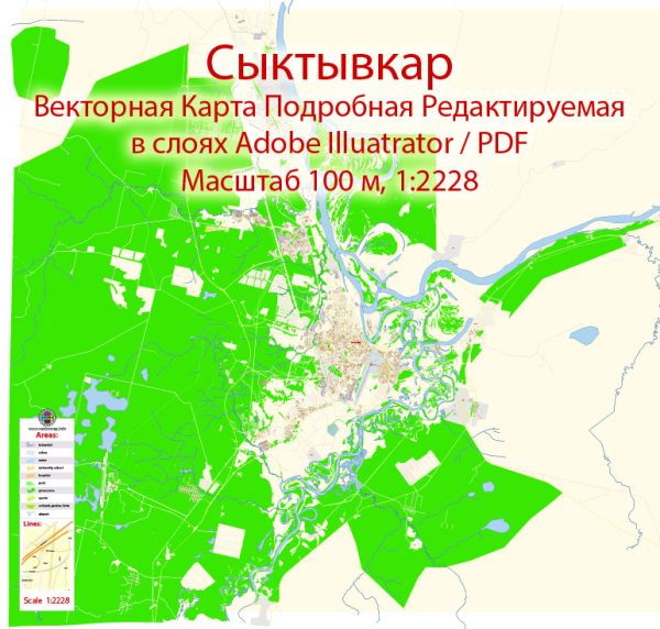
Syktyvkar, Russia, some general information about the city.
Vectormap.Net provide you with the most accurate and up-to-date vector maps in Adobe Illustrator, PDF and other formats, designed for editing and printing. Please read the vector map descriptions carefully.
Syktyvkar is the capital and largest city of the Komi Republic in Russia. The city is located on the Sysola River, which is a tributary of the Vychegda River. The Sysola River plays a significant role in the city’s geography and transportation.
Waterways:
- Sysola River: The Sysola River flows through Syktyvkar and is an important watercourse in the region. The city’s development and layout are likely influenced by the presence of the river.
Bridges:
- Specific details about individual bridges in Syktyvkar are not readily available in my training data. However, cities often have bridges spanning rivers and other water bodies to facilitate transportation.
Main Streets:
- The main streets in Syktyvkar may include major avenues, boulevards, and thoroughfares that serve as primary routes for transportation and commercial activities. Examples may include central streets where shops, businesses, and government offices are located.
For the most accurate and up-to-date information about Syktyvkar’s waterways, bridges, and main streets, I recommend checking with local government sources, city planning departments, or maps provided by relevant authorities. Additionally, online mapping services and travel guides may offer detailed information about the city’s infrastructure and landmarks.


 Author: Kirill Shrayber, Ph.D. FRGS