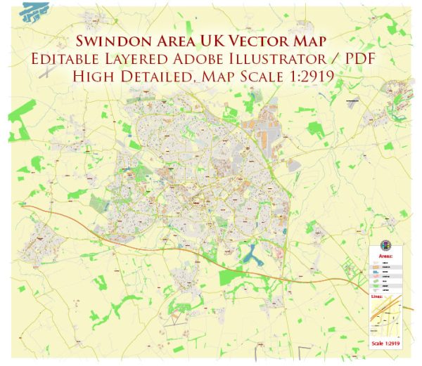
Some general information about Swindon in the UK. Vectormap.Net provide you with the most accurate and up-to-date vector maps in Adobe Illustrator, PDF and other formats, designed for editing and printing. Please read the vector map descriptions carefully. Here’s a general overview:
Waterways: Swindon is not known for extensive waterways. There are some small rivers and streams in the area, but it’s not a city with major navigable water routes.
Bridges: Swindon has various bridges that span over the rivers and roads. Some notable bridges may include those over the River Ray or other smaller water bodies. The railway network in Swindon also features several bridges.
Main Streets: Swindon’s road network includes several main streets and thoroughfares. The town is well-connected by roads, and the main streets often accommodate significant traffic flow. Some of the key streets in Swindon include:
- Regent Street: A major road in the town center with shops, restaurants, and businesses.
- Commercial Road: Another central road with commercial establishments.
- Faringdon Road: Connecting various parts of Swindon, it is an important road in the town.
- Great Western Way: This road connects the town to the M4 motorway and is a key route for transportation.
- Queens Drive: A road that runs along the western edge of the town.
- Wootton Bassett Road: Connecting Swindon to the nearby town of Royal Wootton Bassett.
Please note that these are just a few examples, and there are many more streets and roads in Swindon forming a comprehensive road network.
For the most accurate and current information, I recommend checking with the local authorities, maps, or navigation apps, as infrastructure and road networks can change over time.


 Author: Kirill Shrayber, Ph.D. FRGS