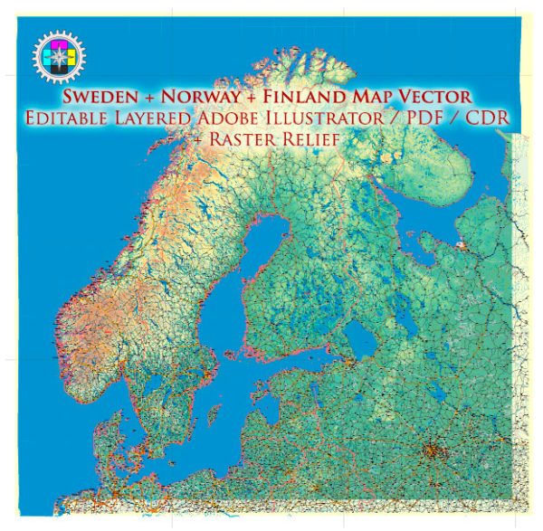
A general overview of the infrastructure in Sweden, Norway, and Finland. Vectormap.Net provide you with the most accurate and up-to-date vector maps in Adobe Illustrator, PDF and other formats, designed for editing and printing. Please read the vector map descriptions carefully.
Sweden:
- Transportation:
- Extensive road and rail networks connecting major cities.
- Well-developed public transportation systems in cities, including buses and trains.
- Ports and harbors for maritime transportation.
- Energy:
- Sweden has a diverse energy mix, with a significant portion coming from renewable sources like hydropower, wind, and biomass.
- A well-developed electricity grid ensures efficient distribution.
- Telecommunications:
- Advanced telecommunications infrastructure with widespread access to high-speed internet.
- Utilities:
- Efficient water supply and sanitation systems.
Norway:
- Transportation:
- A well-maintained road network, including tunnels and bridges to navigate the challenging terrain.
- Extensive ferry services along the coastline.
- Developed public transportation systems in cities and efficient airports.
- Energy:
- Abundant hydroelectric power production.
- Growing focus on renewable energy, including wind and solar.
- Telecommunications:
- Advanced telecommunications infrastructure with a high level of internet connectivity.
- Utilities:
- Efficient water and sanitation systems.
Finland:
- Transportation:
- Comprehensive road and rail networks.
- Efficient public transportation systems in major cities.
- Maritime transportation facilitated by ports and waterways.
- Energy:
- Dependence on diverse energy sources, including nuclear, hydropower, and biomass.
- Investment in renewable energy, especially wind power.
- Telecommunications:
- Advanced telecommunications infrastructure with high-speed internet access.
- Utilities:
- Reliable water supply and sanitation systems.
Common Features:
- Digitalization:
- All three countries are known for their high levels of digitalization, with widespread access to technology and online services.
- Environmental Sustainability:
- Each country places importance on sustainable development, with a focus on renewable energy and environmentally friendly infrastructure.
- Quality of Life:
- Sweden, Norway, and Finland consistently rank high in global quality of life indices, reflecting the overall well-being of their populations.
Infrastructure development in these countries is an ongoing process, and they continue to invest in upgrading and expanding their networks to meet the evolving needs of their societies. For the latest and most accurate information, it’s recommended to check official government sources or recent reports on infrastructure in each country.


 Author: Kirill Shrayber, Ph.D. FRGS