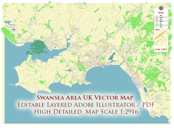
Swansea, located in South Wales, UK, is a city with a rich maritime history and several notable waterways, bridges, and main streets. Here’s a brief description of some key features in the Swansea area:
Waterways:
- River Tawe: The River Tawe is a major watercourse that runs through the heart of Swansea. It flows from the Brecon Beacons, passing through the city and into Swansea Bay. The river has played a crucial role in the industrial history of the area.
- Swansea Bay: While not a traditional waterway, Swansea Bay is a prominent feature along the city’s coastline. The bay is known for its expansive sandy beach and offers picturesque views of the sea.
Bridges:
- Swansea Bay Tidal Lagoon: Although not a traditional bridge, the proposed Swansea Bay Tidal Lagoon project was a significant infrastructure proposal. It aimed to harness tidal power and featured a breakwater with turbines to generate renewable energy.
- Sail Bridge (Prince of Wales Bridge): This cable-stayed bridge spans the River Tawe and connects the SA1 Waterfront area to the Maritime Quarter. It is a prominent modern landmark in Swansea.
- Victoria Bridge: An important crossing over the River Tawe, Victoria Bridge is a historic structure that connects the city center to the east side of the river.
Main Streets:
- Oxford Street: Located in the city center, Oxford Street is a bustling commercial area with shops, restaurants, and entertainment venues. It serves as a major shopping district in Swansea.
- Wind Street: Famous for its vibrant nightlife, Wind Street is lined with numerous pubs, bars, and restaurants. It is a popular destination for those seeking entertainment and a lively atmosphere.
- The Kingsway: A key thoroughfare in Swansea, The Kingsway is known for its wide boulevards, shops, and cultural attractions. It has undergone redevelopment in recent years to enhance its appeal.
- High Street: Another important shopping district, High Street is home to a variety of retail outlets, cafes, and restaurants. It contributes to the city’s commercial vibrancy.
- Mumbles Road: Leading towards the Mumbles area, Mumbles Road offers picturesque views of Swansea Bay. It is a scenic route with a mix of residential and commercial establishments.
Vectormap.Net provide you with the most accurate and up-to-date vector maps in Adobe Illustrator, PDF and other formats, designed for editing and printing. Please read the vector map descriptions carefully.
It’s always a good idea to check local sources for the latest information on infrastructure and urban developments in Swansea.


 Author: Kirill Shrayber, Ph.D. FRGS