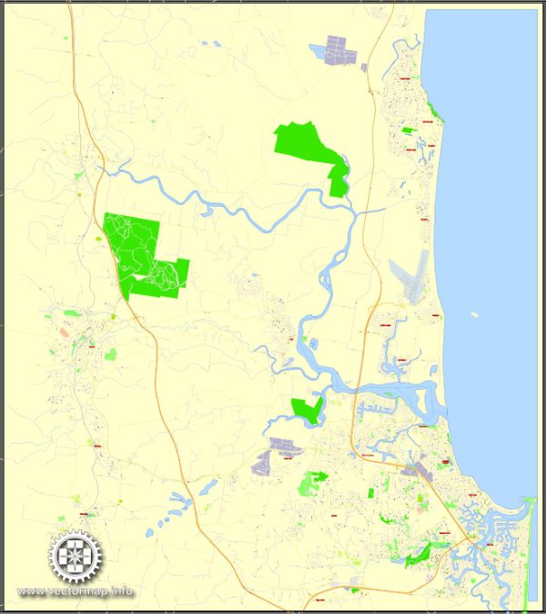
The Sunshine Coast in Australia is known for its stunning natural beauty, featuring a combination of pristine beaches, lush hinterland, and vibrant urban areas. A general overview of some principal waterways, bridges, and main streets in the region.
Vectormap.Net provide you with the most accurate and up-to-date vector maps in Adobe Illustrator, PDF and other formats, designed for editing and printing. Please read the vector map descriptions carefully.
- Waterways:
- Maroochy River: One of the main water bodies on the Sunshine Coast, the Maroochy River meanders through the region, offering scenic views and recreational activities such as boating, fishing, and kayaking.
- Noosa River: Flowing through Noosa, this river is known for its tranquil waters and is a popular spot for boating, fishing, and waterfront dining.
- Mooloolah River: Another significant waterway, the Mooloolah River, is surrounded by picturesque landscapes and is often frequented by boaters and anglers.
- Bridges:
- David Low Way Bridge: This bridge spans the Maroochy River, connecting Maroochydore and Bli Bli. It is a key transportation link in the region.
- Nicklin Way Bridge: Crossing the Mooloolah River, this bridge connects the communities of Minyama and Kawana Waters, playing a vital role in the local road network.
- Main Streets:
- Ocean Street (Maroochydore): A vibrant street in the heart of Maroochydore, Ocean Street is known for its lively atmosphere, featuring an array of cafes, restaurants, shops, and entertainment venues.
- Hastings Street (Noosa Heads): This iconic street in Noosa Heads is lined with upscale boutiques, fine dining restaurants, and is in close proximity to the popular Noosa Main Beach.
- Mooloolaba Esplanade: Fronting Mooloolaba Beach, the Esplanade is a bustling hub with a mix of shops, cafes, and seafood restaurants. It’s a popular destination for both locals and tourists.
Keep in mind that the Sunshine Coast is constantly evolving, with new developments and infrastructure projects. For the most up-to-date information on waterways, bridges, and main streets, it’s recommended to check with local authorities or recent sources for the latest details.


 Author: Kirill Shrayber, Ph.D. FRGS