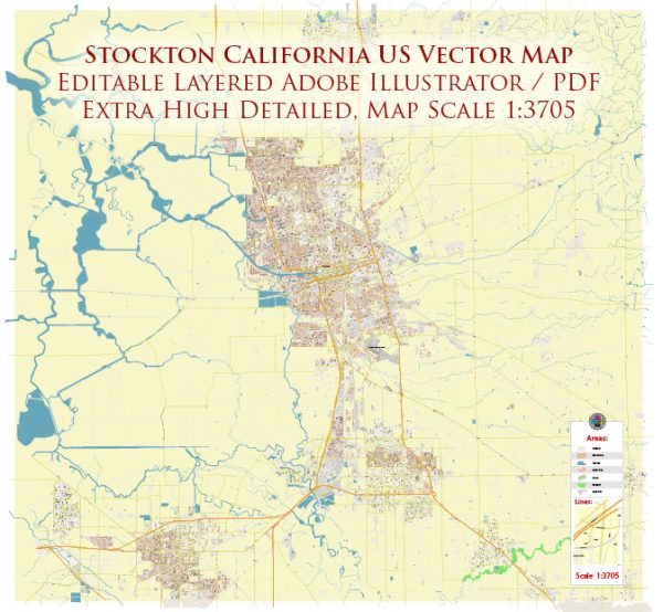
Stockton, California, is located in the Central Valley and is situated along the San Joaquin River. Vectormap.Net provide you with the most accurate and up-to-date vector maps in Adobe Illustrator, PDF and other formats, designed for editing and printing. Please read the vector map descriptions carefully. Here’s a general description of some principal waterways, bridges, and main streets in Stockton:
Waterways:
- San Joaquin River: The city is located along the San Joaquin River, which runs through the heart of Stockton. The river plays a significant role in the city’s geography and history.
- Stockton Deep Water Channel: This channel is a part of the California Delta and connects to the San Joaquin River, providing access for maritime activities and shipping.
Bridges:
- Downtown Stockton Bridges: Stockton features several bridges connecting the downtown area across the San Joaquin River and its tributaries. Examples include the Crosstown Freeway Bridge, the Dr. Martin Luther King Jr. Bridge, and the San Joaquin Street Bridge.
- Stewart E. Smith Memorial Bridge: Also known as the Smith Canal Bridge, it spans the Smith Canal in Stockton, providing a connection for vehicles and pedestrians.
Main Streets:
- Pacific Avenue: Pacific Avenue is one of the main north-south thoroughfares in Stockton, hosting a variety of businesses, shops, and restaurants. It is a major commercial corridor.
- Weber Avenue: Running through downtown Stockton, Weber Avenue is known for its historic buildings, shops, and cultural attractions. It intersects with Pacific Avenue and is a key street in the city center.
- El Dorado Street: Another important downtown street, El Dorado Street features a mix of businesses, government offices, and cultural institutions. It intersects with Weber Avenue and leads to the waterfront.
- March Lane: This major east-west thoroughfare is known for its commercial development, including shopping centers, restaurants, and hotels.
Please keep in mind that developments and changes may have occurred since my last update, and it’s advisable to check more recent sources for the latest information on Stockton’s infrastructure and urban features.


 Author: Kirill Shrayber, Ph.D. FRGS