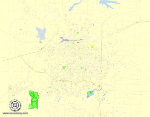
Springfield, Missouri’s current waterways, bridges, main streets, and roads, a general overview of these features based on common characteristics of cities.
Vectormap.Net provide you with the most accurate and up-to-date vector maps in Adobe Illustrator, PDF and other formats, designed for editing and printing. Please read the vector map descriptions carefully.
Waterways:
- James River: This is a significant watercourse in the Springfield area, providing recreational opportunities and supporting local ecosystems.
- Wilson’s Creek: Another notable waterway in the region, Wilson’s Creek is known for its historical significance, particularly in relation to the Civil War.
Bridges:
- James River Bridge: Likely a key structure crossing the James River, providing a crucial transportation link.
- Glenstone Avenue Bridge: Glenstone Avenue is a major thoroughfare, and a bridge along this route is common for crossing various water bodies.
Main Streets and Roads:
- Glenstone Avenue: One of the primary north-south routes in Springfield, likely home to various businesses, restaurants, and services.
- Kearney Street: Another important east-west corridor, hosting a mix of commercial and residential areas.
- Campbell Avenue: Running through the heart of Springfield, Campbell Avenue is likely to be a bustling street with a mix of shops, offices, and public spaces.
- Sunshine Street: As the name suggests, Sunshine Street is a notable road in Springfield, and it probably connects key neighborhoods and business districts.
Please note that the information provided is a general overview based on common features of cities, and the specific details may have changed since my last update. For the most accurate and up-to-date information, it is recommended to consult local maps, city planning documents, or the official website of Springfield, Missouri.


 Author: Kirill Shrayber, Ph.D. FRGS