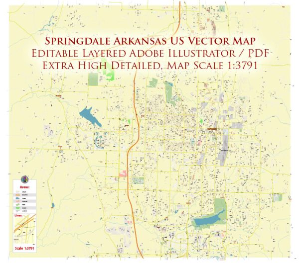
Springdale, Arkansas, a general information on what you might find in a typical city.
Vectormap.Net provide you with the most accurate and up-to-date vector maps in Adobe Illustrator, PDF and other formats, designed for editing and printing. Please read the vector map descriptions carefully.
Waterways:
Springdale, like many cities, may have various creeks and streams. It’s possible that there are local water features, but the specific details would require up-to-date local information or a map of the area. Common features might include small rivers, creeks, or ponds.
Bridges:
Cities often have bridges that span waterways or connect different parts of the city. Depending on the size and infrastructure of Springdale, there could be several bridges across local water bodies or major roads. Bridge names and locations would be available in local records or on city maps.
Main Streets:
Main streets typically refer to major roads that traverse through the city, connecting different neighborhoods and commercial areas. These streets are often lined with businesses, shops, and other establishments. In Springdale, some of the main streets may include those that connect to neighboring cities or major highways.
For the most accurate and up-to-date information, you may want to check with the local city government, chamber of commerce, or use online maps and resources. Local government websites or community planning departments often provide detailed maps and information about the city’s infrastructure. Additionally, residents or local businesses may have valuable insights into the specific features of Springdale’s waterways, bridges, and main streets.


 Author: Kirill Shrayber, Ph.D. FRGS