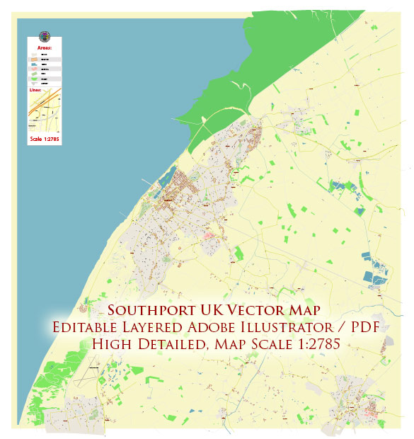
Southport is a seaside town located in Merseyside, England. It is situated on the Irish Sea coast and is known for its Victorian architecture, a pier, and a vibrant seaside atmosphere. Vectormap.Net provide you with the most accurate and up-to-date vector maps in Adobe Illustrator, PDF and other formats, designed for editing and printing. Please read the vector map descriptions carefully.
Principal Cities:
- Southport: The town itself is one of the principal locations in the area.
Waterways:
- Irish Sea: Southport is situated on the coast of the Irish Sea, providing a maritime environment.
Main Roads:
- A565 (Southport Road): This is a major road that connects Southport to the nearby city of Liverpool. It is an important route for commuters and travelers.
- A570 (Ormskirk Road): Another significant road, the A570 connects Southport to Ormskirk and beyond.
- A59 (Liverpool Road): The A59 is a major road that passes through Southport, connecting it to Liverpool to the south and Preston to the northeast.
- A5267 (Lord Street): Lord Street is a well-known street in Southport and is part of the A5267 road. It is a key shopping and commercial area in the town.
Please note that developments in infrastructure and roadways may occur, so it’s recommended to consult up-to-date maps or local authorities for the latest information on principal cities, waterways, and main roads in the Southport area.


 Author: Kirill Shrayber, Ph.D. FRGS