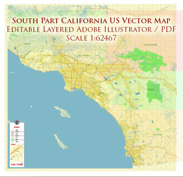
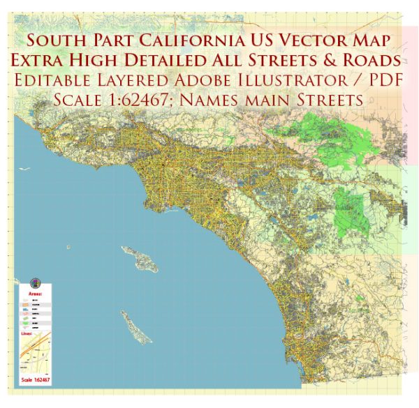
Southern California is a diverse and populous region in the southwestern part of the United States. The principal cities, waterways, and main roads in Southern California contribute to its dynamic and vibrant character.
Vectormap.Net provide you with the most accurate and up-to-date vector maps in Adobe Illustrator, PDF and other formats, designed for editing and printing. Please read the vector map descriptions carefully.
Principal Cities:
- Los Angeles: The largest city in California and the second-largest in the United States, known for its entertainment industry, cultural diversity, and iconic landmarks such as Hollywood and Beverly Hills.
- San Diego: Located on the southernmost coast, known for its beautiful beaches, naval bases, and cultural attractions like Balboa Park and the San Diego Zoo.
- Long Beach: A coastal city with a busy port, popular for its waterfront attractions, including the Queen Mary and the Aquarium of the Pacific.
- Anaheim: Home to Disneyland Resort, one of the most famous theme parks in the world, drawing millions of visitors annually.
- Santa Ana: The county seat of Orange County, known for its historic downtown and cultural institutions like the Bowers Museum.
- Riverside: A city situated inland, known for its mission-style architecture, the University of California, Riverside, and the March Field Air Museum.
- San Bernardino: Located inland, known for its proximity to the San Bernardino Mountains and the historic Route 66.
- Irvine: A planned city in Orange County, known for its master-planned communities, parks, and the University of California, Irvine.
Waterways:
- Pacific Ocean: The western border of Southern California, providing miles of coastline and numerous beaches.
- Los Angeles River: Flows through Los Angeles County, historically significant and subject to ongoing revitalization efforts.
- San Gabriel River: A major watercourse in Los Angeles County, flowing from the San Gabriel Mountains to the Pacific Ocean.
- Santa Ana River: One of the longest rivers in Southern California, flowing through several counties and draining into the Pacific Ocean.
Main Roads:
- Interstate 5 (I-5): A major north-south freeway connecting San Diego to Los Angeles and beyond.
- Interstate 10 (I-10): An east-west freeway connecting Santa Monica in the west to San Bernardino in the east.
- Interstate 15 (I-15): Runs north-south, connecting San Diego to the Inland Empire and beyond.
- State Route 1 (Pacific Coast Highway): Follows the coastline, offering stunning views of the Pacific Ocean.
- U.S. Route 101 (Hollywood Freeway): Runs through Los Angeles, connecting the city to the Central Coast and Northern California.
- State Route 91 (Riverside Freeway): Connects Riverside to Anaheim and serves as a vital east-west corridor.
- State Route 110 (Harbor Freeway): Connects Los Angeles to the Port of Los Angeles and the city’s downtown area.
These cities, waterways, and main roads collectively contribute to the economic, cultural, and geographical significance of Southern California. The region is known for its diverse landscapes, ranging from beaches and mountains to urban centers and deserts.


 Author: Kirill Shrayber, Ph.D.