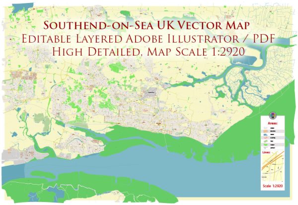
Southend-on-Sea is a seaside town in Essex, England. The town is situated on the north side of the Thames Estuary and is known for its beaches and pier. Vectormap.Net provide you with the most accurate and up-to-date vector maps in Adobe Illustrator, PDF and other formats, designed for editing and printing. Please read the vector map descriptions carefully. Here is a general description of some principal waterways, bridges, and main streets in Southend-on-Sea:
Principal Waterways:
- Thames Estuary: Southend-on-Sea is located along the north side of the Thames Estuary, providing scenic views and recreational opportunities.
- Southend Pier: Although not a traditional waterway, Southend Pier is a prominent structure extending into the Thames Estuary and is one of the longest pleasure piers in the world.
Bridges:
- A127 Southend Arterial Road: While not a bridge in the traditional sense, the A127 road serves as a crucial route connecting Southend-on-Sea to London and other parts of Essex.
- Kursaal Bridge: This is a bridge that spans the railway tracks near the Kursaal entertainment complex.
Main Streets:
- High Street: Southend High Street is a bustling area with shops, restaurants, and businesses, offering a vibrant atmosphere for shopping and leisure.
- London Road: Another important thoroughfare, London Road connects the town to various neighborhoods and serves as a key route for transportation.
- Eastern Esplanade: Running along the seafront, the Eastern Esplanade provides beautiful views of the Thames Estuary and access to the beach.
Other Points of Interest:
- Adventure Island: A popular amusement park located on the seafront, offering a variety of rides and attractions.
- Southend Central Railway Station: A major railway station in the town, providing rail connections to London and other destinations.
- Cliffs Pavilion: A prominent entertainment venue hosting concerts, shows, and events.
Keep in mind that Southend-on-Sea may have undergone changes or developments since my last update, and it’s advisable to consult local sources or maps for the most current information on waterways, bridges, and main streets in the area.


 Author: Kirill Shrayber, Ph.D.