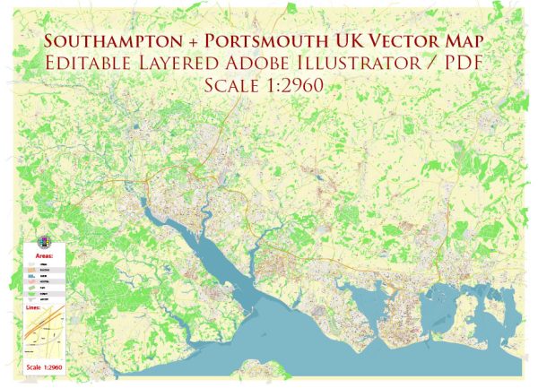
Southampton and Portsmouth are both vibrant cities on the southern coast of England, each with its own distinct character and history. Here’s a brief overview of their principal waterways, bridges, and main streets:
Southampton:
Waterways:
- River Test: Southampton is situated on the northern shore of the estuary of the River Test, which flows into the English Channel. The river plays a significant role in the city’s maritime history.
- Ocean Village Marina: A modern marina situated in Southampton, providing berths for various vessels and surrounded by restaurants, shops, and residential areas.
Bridges:
- Itchen Bridge: Spanning the River Itchen, this toll bridge connects the eastern and western parts of Southampton. It offers stunning views of the city and the waterfront.
Main Streets:
- Above Bar Street: A prominent shopping street in the city center, featuring a variety of shops, restaurants, and cafes. It’s a popular destination for both locals and visitors.
- High Street: This historic street runs through the heart of Southampton, lined with shops, historic buildings, and cultural attractions.
- Oxford Street: Known for its independent shops, boutiques, and a range of dining options, Oxford Street is a charming area with a maritime atmosphere.
Portsmouth:
Waterways:
- The Solent: Portsmouth is located on Portsea Island, near the entrance to The Solent, a strait that separates the Isle of Wight from the mainland of England. The Solent is a busy waterway with maritime traffic.
Bridges:
- Portsmouth Harbour Bridge: A bascule bridge that spans the entrance to Portsmouth Harbour, connecting Portsea Island to the mainland.
Main Streets:
- Commercial Road: One of the main shopping streets in Portsmouth, Commercial Road is home to a variety of shops, department stores, and eateries.
- Gunwharf Quays: While not a traditional street, Gunwharf Quays is a waterfront area featuring designer outlet shopping, restaurants, bars, and entertainment venues.
- The Hard: A historic street that runs along the waterfront, known for its maritime heritage and as the location of The Hard Interchange, a major transport hub.
Both Southampton and Portsmouth have rich maritime histories, and their waterways, bridges, and main streets reflect their significance as ports and cultural hubs on the south coast of England.
Vectormap.Net provide you with the most accurate and up-to-date vector maps in Adobe Illustrator, PDF and other formats, designed for editing and printing. Please read the vector map descriptions carefully.


 Author: Kirill Shrayber, Ph.D. FRGS