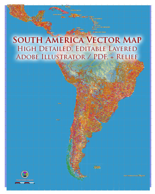
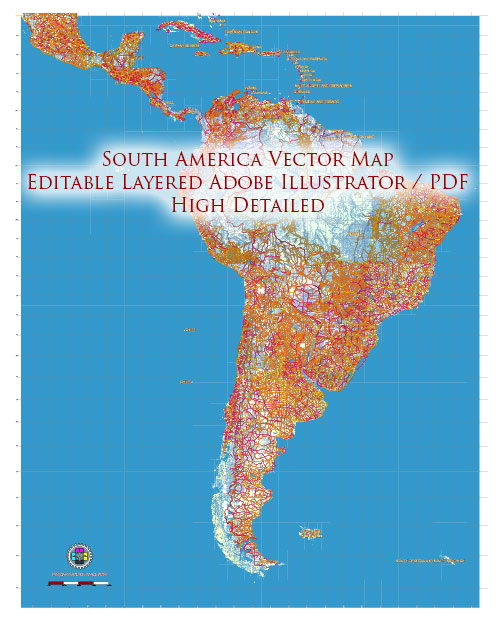
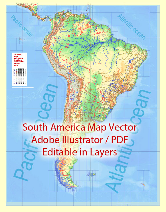
A brief overview of some principal cities, waterways, and main roads in South America. Vectormap.Net provide you with the most accurate and up-to-date vector maps in Adobe Illustrator, PDF and other formats, designed for editing and printing. Please read the vector map descriptions carefully.
Principal Cities:
- Sao Paulo, Brazil: One of the largest cities in the world, known for its economic and cultural significance.
- Buenos Aires, Argentina: The capital and largest city of Argentina, famous for its tango music and dance.
- Lima, Peru: The capital and largest city of Peru, with a rich history and diverse culture.
- Bogotá, Colombia: The capital and largest city of Colombia, situated in the Andean region.
- Rio de Janeiro, Brazil: Known for its iconic Carnival, beautiful beaches, and the Christ the Redeemer statue.
- Lima, Peru: Capital and largest city of Peru, with a rich history and diverse culture.
- Caracas, Venezuela: The capital and largest city of Venezuela, located in the northern part of the country.
Waterways:
- Amazon River: The second-longest river in the world, flowing through several South American countries, including Brazil, Peru, and Colombia.
- Paraná River: One of the longest rivers in South America, flowing through Brazil, Paraguay, and Argentina.
- Orinoco River: A major river in Venezuela and Colombia, flowing into the Atlantic Ocean.
- Magdalena River: The principal river of Colombia, playing a significant role in the country’s transportation and economy.
Main Roads:
- Pan-American Highway: A network of roads that stretches from Prudhoe Bay, Alaska, to Ushuaia, Argentina, passing through several South American countries.
- BR-101 (Rodovia Governador Mário Covas): A major highway in Brazil that runs along the eastern coast, connecting major cities.
- Trans-Andean Highway: Connecting the Pacific and Atlantic coasts by crossing the Andes Mountains.
- Carretera Austral: A scenic highway in Chile, running through the remote and beautiful landscapes of Patagonia.
- Ruta Nacional 40 (National Route 40): A long-distance highway in Argentina, running parallel to the Andes.
Please note that road names and conditions may change, and new infrastructure projects may have been developed since my last update. Always refer to the latest local sources for the most accurate and up-to-date information.


 Author: Kirill Shrayber, Ph.D. FRGS