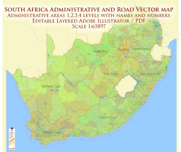
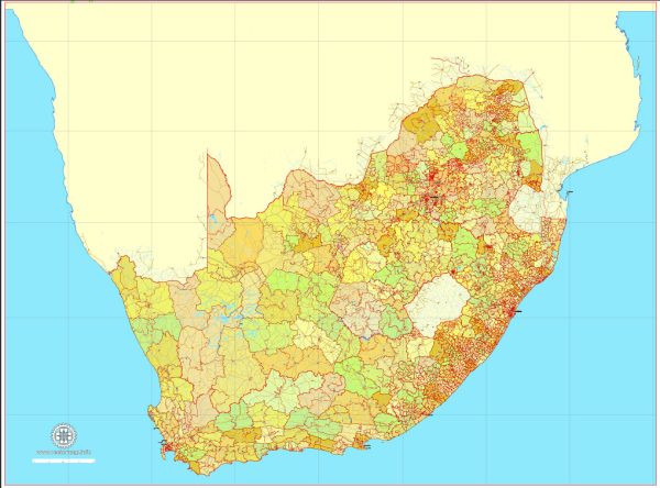
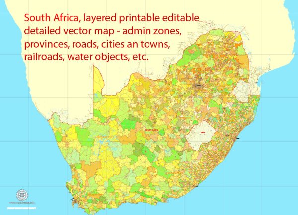
South Africa is a diverse country with several principal cities, numerous waterways, and a well-developed network of main roads. Here’s a brief description of some of the key elements:
Principal Cities:
- Johannesburg: Also known as “Joburg” or “Jozi,” Johannesburg is the largest city in South Africa and a major financial and economic hub. It is located in the northeastern part of the country.
- Cape Town: Situated on the southwestern coast, Cape Town is known for its stunning natural beauty, including Table Mountain and the Cape of Good Hope. It is one of the country’s legislative capitals.
- Durban: Located on the east coast along the Indian Ocean, Durban is a major port city and a popular tourist destination. It has a subtropical climate and is known for its beaches.
- Pretoria: The administrative capital of South Africa, Pretoria is in the northern part of the country. It is known for its government buildings, including the Union Buildings.
- Port Elizabeth: Situated in the Eastern Cape province, Port Elizabeth is a major seaport and an industrial city. It is often referred to as “The Friendly City.”
Waterways:
- Orange River: The longest river in South Africa, the Orange River flows through the central part of the country, forming part of the border between South Africa and Namibia.
- Limpopo River: This river serves as the northern border between South Africa and Zimbabwe. It flows eastward into Mozambique, eventually reaching the Indian Ocean.
- Vaaldam: The Vaal River is a tributary of the Orange River, and the Vaaldam is one of South Africa’s largest dams, serving important agricultural and domestic water needs.
Main Roads:
- N1: This is one of the major national highways in South Africa, connecting Cape Town in the south to Beitbridge on the Zimbabwean border in the north.
- N2: Running along the east coast, the N2 highway connects Cape Town and Durban, passing through Port Elizabeth.
- N3: This highway connects Durban and Johannesburg, forming a crucial transport link between the two major cities.
- N4: Connecting Pretoria and Nelspruit, the N4 highway runs through the northeastern part of the country.
- N7: This route runs from Cape Town to the Namibian border, passing through the Northern Cape.
South Africa’s road infrastructure is well-developed, facilitating transportation and trade across the country. These principal cities, waterways, and main roads contribute to the economic and social connectivity of South Africa.


 Author: Kirill Shrayber, Ph.D. FRGS