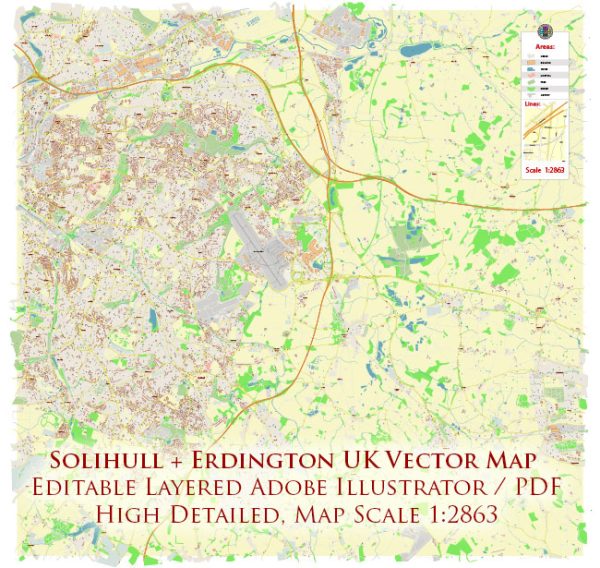
Solihull and Erdington areas in the UK, some general information and guidance on where to find such details.
Vectormap.Net provide you with the most accurate and up-to-date vector maps in Adobe Illustrator, PDF and other formats, designed for editing and printing. Please read the vector map descriptions carefully.
Solihull:
Waterways:
- Grand Union Canal: The Grand Union Canal passes through Solihull. It’s a major waterway in the region, and you can find various bridges and paths along its route.
Bridges:
- Solihull Bypass Bridge: This bridge is a significant structure that crosses the M42 motorway.
Main Streets:
- High Street: High Street is often a central hub in many towns, and Solihull is no exception. It usually features shops, restaurants, and other amenities.
Erdington:
Waterways:
- River Tame: The River Tame flows near Erdington, and its paths and bridges are likely to be notable in the area.
Bridges:
- Six Ways Island: While not a traditional bridge, Six Ways Island is a major road junction in Erdington, where several roads converge.
Main Streets:
- Erdington High Street: Like in many urban areas, the High Street is often a focal point for commerce and community in Erdington.
Further Steps:
For more detailed and up-to-date information, consider checking with local authorities, city planning departments, or navigation authorities. Maps and online resources such as Vectormap.Net can also provide real-time data on streets, waterways, and bridges. Local community websites, tourism boards, or city guides may offer insights into the notable features of these areas.
Keep in mind that infrastructure and development can change, so it’s always a good idea to consult the latest sources for the most accurate information.


 Author: Kirill Shrayber, Ph.D. FRGS