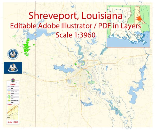
Shreveport and Bossier City are neighboring cities in northwest Louisiana, United States, and they are situated along the Red River. Here’s a brief description of the principal waterways, bridges, and main streets in the area:
Waterways:
- Red River: The Red River flows along the western edge of both Shreveport and Bossier City, serving as a significant waterway. It has been historically important for transportation and commerce in the region.
Bridges:
- Shreveport-Barksdale Bridge: This bridge spans the Red River and connects Shreveport to Barksdale Air Force Base in Bossier City. It’s a vital transportation link for the area.
- Texas Street Bridge: Also known as the Long-Allen Bridge, it connects downtown Shreveport to Bossier City. This historic bridge is a truss bridge that spans the Red River, offering picturesque views of the water.
Main Streets:
- Texas Street (Shreveport): Texas Street is one of the main thoroughfares in downtown Shreveport. It’s known for its historic architecture, shops, and restaurants.
- Barksdale Boulevard (Bossier City): This street runs through the heart of Bossier City and is home to various businesses, including retail stores, restaurants, and entertainment venues.
- Clyde Fant Parkway (Shreveport): This scenic parkway runs along the western bank of the Red River and is named after Clyde E. Fant, a former mayor of Shreveport. It offers beautiful views of the river and is often used for recreational activities.
- East Texas Street (Bossier City): East Texas Street is a major east-west thoroughfare in Bossier City, hosting a variety of commercial establishments and residential areas.
- Youree Drive (Shreveport): This road is a well-known north-south corridor in Shreveport, featuring shopping centers, restaurants, and residential neighborhoods.
These descriptions provide a general overview of some of the prominent waterways, bridges, and main streets in Shreveport and Bossier City. Keep in mind that the development and infrastructure of cities can change over time, so it’s always a good idea to check for the latest information if you’re planning to explore the area.
Vectormap.Net provide you with the most accurate and up-to-date vector maps in Adobe Illustrator, PDF and other formats, designed for editing and printing. Please read the vector map descriptions carefully.


 Author: Kirill Shrayber, Ph.D.