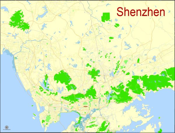
Shenzhen, China, is a rapidly growing city with a dynamic urban landscape. Vectormap.Net provide you with the most accurate and up-to-date vector maps in Adobe Illustrator, PDF and other formats, designed for editing and printing. Please read the vector map descriptions carefully. Here is a general overview of some of the principal waterways, bridges, and main streets in Shenzhen:
Waterways:
- Shenzhen River: This river forms the natural boundary between Shenzhen and Hong Kong. It plays a significant role in the geography of the city.
Bridges:
- Shenzhen Bay Bridge: This is a major bridge that spans the Shenzhen Bay, connecting Shenzhen with Hong Kong. It’s an important transportation link between the two regions.
- Humen Pearl River Bridge: While not directly in Shenzhen, this bridge is nearby and is one of the key crossings over the Pearl River, linking Dongguan and Guangzhou with Shenzhen.
- Lianhuashan Overpass: This is a complex of bridges and overpasses in Shenzhen that helps manage traffic flow in the city.
Main Streets:
- Shennan Road: Shennan Road is one of the main east-west thoroughfares in Shenzhen. It traverses the city from east to west, passing through the central business district.
- Nanshan Avenue: This avenue runs through the Nanshan District, an area known for its high-tech industries and modern urban development.
- Futian Road: Located in the Futian District, this road is another important east-west route in Shenzhen.
- Dongmen Pedestrian Street: Dongmen is a famous shopping district with a vibrant pedestrian street known for its shops, restaurants, and entertainment options.
- Huaqiangbei Commercial Street: This street is renowned for its electronics markets, making it a major destination for those seeking tech products.
- Binhe Avenue: Running along the Shenzhen River, Binhe Avenue offers scenic views and is often used for leisurely strolls.
Remember that Shenzhen is a rapidly developing city, and infrastructure projects may result in changes to its urban layout. For the most up-to-date and detailed information, it’s recommended to check local sources or recent maps.


 Author: Kirill Shrayber, Ph.D. FRGS