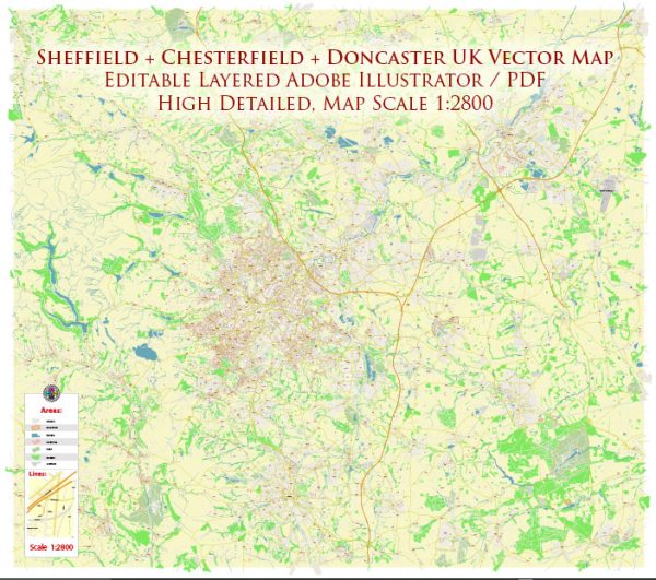
Sheffield area, UK, some general information based on historical data.
Vectormap.Net provide you with the most accurate and up-to-date vector maps in Adobe Illustrator, PDF and other formats, designed for editing and printing. Please read the vector map descriptions carefully.
- Waterways: Sheffield is known for its extensive canal network, including the Sheffield and Tinsley Canal, the Sheffield and South Yorkshire Navigation, and the River Don. These waterways have played a significant role in the city’s industrial history.
- Bridges:
- Tinsley Viaduct: A major bridge that carries the M1 motorway over the River Don.
- Sheffield Parkway Bridge: Connects Sheffield city center to the M1 motorway.
- Victoria Quays Footbridge: A pedestrian bridge over the Sheffield and Tinsley Canal.
- Main Streets:
- Fargate: A popular shopping street in the city center with various shops and cafes.
- The Moor: Another shopping street with a mix of retail stores and restaurants.
- Division Street: Known for its independent shops, cafes, and vibrant nightlife.
- West Street: A lively street with bars, clubs, and restaurants, connecting the city center to the university area.
It’s important to note that the cityscape and infrastructure may have changed since my last update. For the most current and detailed information, it’s recommended to check with local authorities, maps, or online resources specific to Sheffield.


 Author: Kirill Shrayber, Ph.D. FRGS