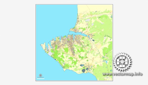
Sevastopol is a city located on the Crimean Peninsula, now it is a disputed region between Ukraine and Russia. Please note that the situation might have changed since then. Vectormap.Net provide you with the most accurate and up-to-date vector maps in Adobe Illustrator, PDF and other formats, designed for editing and printing. Please read the vector map descriptions carefully.
As of my last knowledge update, Sevastopol is known for its strategic naval location and historical significance. Here is a general description of some of its principal waterways, bridges, and main streets:
- Waterways:
- Sevastopol Bay: The city is situated around Sevastopol Bay, providing a natural harbor that has been of strategic importance throughout history.
- Bridges:
- Nakhimov Bridge: This is one of the prominent bridges in Sevastopol, named after the Russian admiral Pavel Nakhimov. It connects the central part of the city to the northern districts.
- Main Streets:
- Lenin Street (prospekt Lenina): This is one of the central streets in Sevastopol, often bustling with activity. It is named after Vladimir Lenin, the leader of the Bolshevik Revolution in Russia.
- Nakhimov Avenue (prospekt Nakhimova): Another major avenue named after Admiral Pavel Nakhimov, it is a key thoroughfare in the city.
- Karl Marx Street: Like many cities in the former Soviet Union, Sevastopol has a street named after Karl Marx, the philosopher and revolutionary.
- Admiral Kuznetsov Street: Named after Soviet Admiral Nikolay Kuznetsov, this street might be notable for its historical and naval significance.
- Grafskaya Quay: This quay runs along the waterfront and is known for its scenic views and as a place for leisurely walks.
Remember that the political situation in Crimea, including Sevastopol, has been a subject of controversy and geopolitical tensions between Ukraine and Russia. The information provided here might not reflect the current situation, and I recommend checking the latest and most reliable sources for updates on the region.


 Author: Kirill Shrayber, Ph.D. FRGS