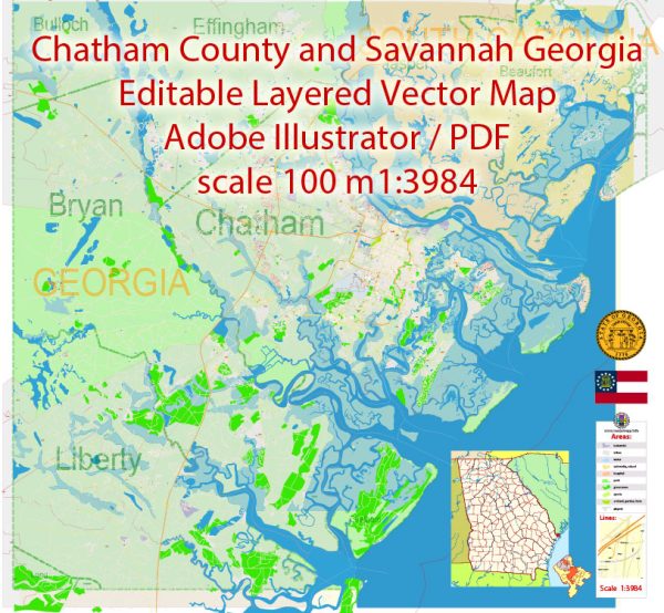
A general overview of the principal waterways, bridges, and main streets in Savannah and Chatham County, Georgia, USA. Vectormap.Net provide you with the most accurate and up-to-date vector maps in Adobe Illustrator, PDF and other formats, designed for editing and printing. Please read the vector map descriptions carefully.
Waterways:
- Savannah River: The Savannah River runs along the eastern border of Chatham County, serving as a major waterway for shipping and commerce. The Port of Savannah, one of the busiest ports in the United States, is located along the Savannah River.
- Intracoastal Waterway: This inland waterway provides a route for vessels along the Atlantic coast and intersects with the Savannah River.
- Back River: Back River is a tidal river that flows parallel to the Savannah River and is part of the Intracoastal Waterway.
Bridges:
- Talmadge Memorial Bridge: This bridge spans the Savannah River, connecting downtown Savannah with Hutchinson Island. It is a prominent feature of the Savannah skyline.
- Bridges to Tybee Island: Several bridges connect Savannah to Tybee Island, including the Lazaretto Creek Bridge and Bull River Bridge.
Main Streets:
- River Street: Located in the historic district of Savannah, River Street is a popular cobblestone street along the Savannah River. It is lined with shops, restaurants, and historic buildings.
- Bay Street: Parallel to River Street, Bay Street is another major thoroughfare in downtown Savannah. It runs through the historic district and offers a mix of shops, hotels, and dining options.
- Broughton Street: Broughton Street is a bustling commercial street in downtown Savannah, known for its shopping, dining, and entertainment options.
- Abercorn Street: One of the primary north-south thoroughfares in Savannah, Abercorn Street runs through the heart of the city and passes by popular landmarks, squares, and neighborhoods.
- Oglethorpe Avenue: Named after James Oglethorpe, the founder of the Georgia colony, Oglethorpe Avenue is a significant street in Savannah that intersects with many other main roads.
Keep in mind that urban development and infrastructure can change over time, so it’s advisable to check with local sources for the most up-to-date information on waterways, bridges, and streets in Savannah and Chatham County.


 Author: Kirill Shrayber, Ph.D. FRGS