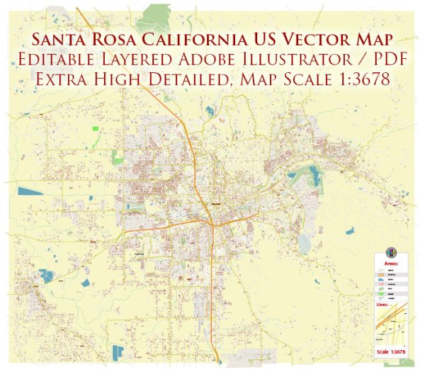
Santa Rosa, located in Sonoma County, California, is a city with several notable waterways, bridges, and main streets. Vectormap.Net provide you with the most accurate and up-to-date vector maps in Adobe Illustrator, PDF and other formats, designed for editing and printing. Please read the vector map descriptions carefully. Here is a general description of some of the prominent features:
Waterways:
- Santa Rosa Creek: This waterway runs through the heart of Santa Rosa, flowing from the east to the west. It has parks and walking trails along its banks, providing recreational opportunities.
- Matanzas Creek: Another significant creek in the area, Matanzas Creek flows to the north of Santa Rosa and eventually joins the Laguna de Santa Rosa.
- Laguna de Santa Rosa: While not directly within the city, the Laguna de Santa Rosa is a large wetland complex to the south and west. It is an important habitat and watershed area.
Bridges:
- Steele Lane Bridge: This bridge spans Santa Rosa Creek and connects the areas on either side. It’s a vital transportation link.
- College Avenue Bridge: Crossing Matanzas Creek, the College Avenue Bridge is another key structure, facilitating movement in the northern parts of the city.
Main Streets:
- Fourth Street: In downtown Santa Rosa, Fourth Street is a bustling area with shops, restaurants, and cultural attractions. It’s a hub for local businesses and events.
- Mendocino Avenue: A major north-south thoroughfare, Mendocino Avenue intersects with several important streets and provides access to various neighborhoods and commercial areas.
- Santa Rosa Avenue: This is a significant commercial corridor, featuring shopping centers, restaurants, and various businesses. It runs parallel to U.S. Route 101.
- Sonoma Avenue: Connecting the downtown area with eastern parts of the city, Sonoma Avenue is an important east-west street.


 Author: Kirill Shrayber, Ph.D. FRGS