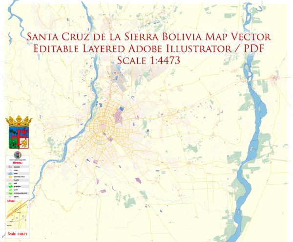
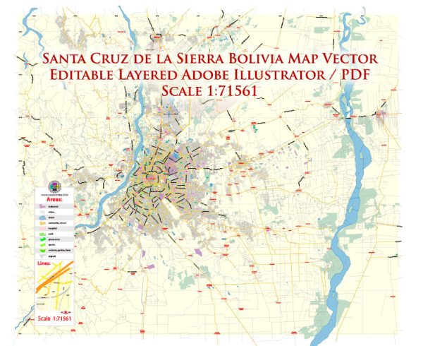
Santa Cruz de la Sierra is the largest city in Bolivia, and it is continually evolving with urban development. Vectormap.Net provide you with the most accurate and up-to-date vector maps in Adobe Illustrator, PDF and other formats, designed for editing and printing. Please read the vector map descriptions carefully. Here is a general overview of these aspects based on historical information:
- Waterways: Santa Cruz de la Sierra is not known for major navigable waterways within the city itself. Unlike some other cities, it doesn’t have large rivers or canals flowing through its urban area. However, the Pirai River is a significant watercourse located near the city, contributing to the region’s overall hydrology.
- Bridges: Some bridges connect different parts of the city, but the specifics can change with urban development. The bridges are essential for facilitating traffic flow across various water bodies, including smaller rivers and streams. Key bridges may include those that cross the Pirai River or other watercourses in the city’s vicinity.
- Main Streets: Santa Cruz de la Sierra has a network of main streets and avenues that form the backbone of its transportation infrastructure. Key streets may include:
- Avenida San Martin: This is one of the main avenues in the city and is known for its commercial and business establishments.
- Avenida Banzer: Named after a former Bolivian president, this avenue is significant in terms of both commercial and residential areas.
- Avenida Roca y Coronado: Another important avenue that intersects with various neighborhoods and commercial districts.
- Avenida Cristo Redentor: Connecting different parts of the city, this avenue is important for transportation.
Please note that the city’s urban layout and infrastructure may have changed since my last update, and I recommend checking more recent sources or maps for the latest information on Santa Cruz de la Sierra’s waterways, bridges, and main streets. Local government websites, tourism boards, or mapping services could provide up-to-date details.


 Author: Kirill Shrayber, Ph.D.