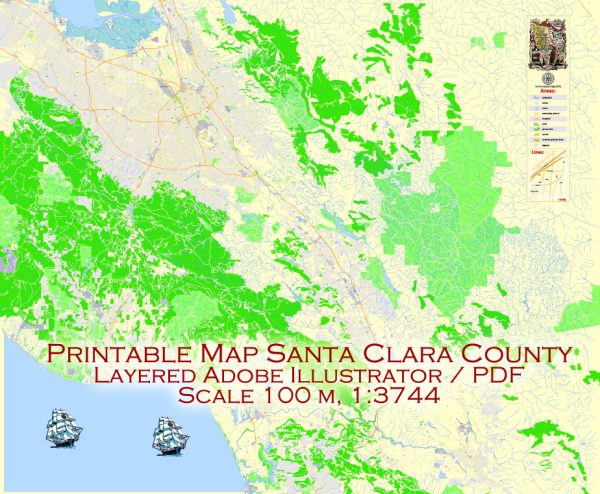
Santa Clara County is located in the southern part of the San Francisco Bay Area in California, USA. Vectormap.Net provide you with the most accurate and up-to-date vector maps in Adobe Illustrator, PDF and other formats, designed for editing and printing. Please read the vector map descriptions carefully. Here’s a general overview based on historical information:
Waterways:
- Guadalupe River: The Guadalupe River runs through Santa Clara County, flowing from the Santa Cruz Mountains through San Jose and eventually into the southern part of San Francisco Bay.
- Coyote Creek: Coyote Creek is another significant waterway in the county, running parallel to the Guadalupe River and also flowing into the southern part of San Francisco Bay.
Bridges:
- San Jose-Santa Clara Street Bridge: This historic bridge connects the downtown areas of San Jose and Santa Clara, spanning the Guadalupe River.
- Dumbarton Bridge: While not entirely within Santa Clara County, the Dumbarton Bridge connects the county to Alameda County across the southern part of the San Francisco Bay.
- Stevens Creek Boulevard Bridge: Located in Cupertino, this bridge spans Stevens Creek and is an important local transportation route.
Main Streets:
- El Camino Real: This major thoroughfare runs through the county and is a historic route connecting many cities on the Peninsula, including Palo Alto, Mountain View, and Sunnyvale.
- Santa Clara Street: Running through the heart of San Jose, Santa Clara Street is a central and historic thoroughfare with various businesses and cultural attractions.
- Almaden Expressway: This is a major north-south arterial road connecting the southern part of San Jose.
- De Anza Boulevard: Passing through Cupertino and other cities, De Anza Boulevard is a significant street with various commercial and residential developments.
Remember, these are just a few examples, and there are many other streets, bridges, and waterways in Santa Clara County. For the most current and detailed information, it’s recommended to consult local maps, transportation authorities, or the Santa Clara County government.


 Author: Kirill Shrayber, Ph.D. FRGS