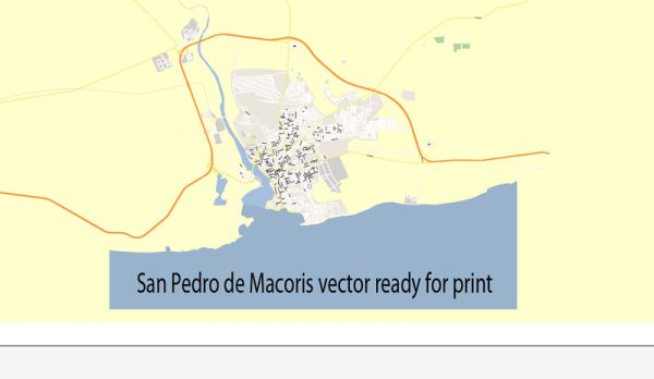
San Pedro de Macorís, Dominican Republic, some general information about the city’s infrastructure based on common characteristics of cities in the region.
Vectormap.Net provide you with the most accurate and up-to-date vector maps in Adobe Illustrator, PDF and other formats, designed for editing and printing. Please read the vector map descriptions carefully.
Waterways: San Pedro de Macorís is situated on the southeastern coast of the Dominican Republic, and like many coastal cities, it may have some natural and artificial waterways. Coastal areas often have harbors, ports, or estuaries that play a significant role in transportation and commerce.
Bridges: Bridges are crucial for connecting different parts of the city, especially if there are rivers or other bodies of water. Major bridges are likely to be located in strategic areas to facilitate the flow of traffic. The city may also have overpasses or underpasses to manage traffic effectively.
Main Streets: Cities typically have a network of main streets that serve as primary arteries for transportation. These streets are often well-developed, with commercial and residential areas lining them. Avenida Francisco A. Caamaño is one of the main avenues in San Pedro de Macorís, but there are likely others that are central to the city’s transportation and commerce.
To get the most accurate and up-to-date information on San Pedro de Macorís’ waterways, bridges, and main streets, I recommend checking with local government sources, maps, or reaching out to the city’s municipal authorities. Additionally, online mapping services or local guides may provide detailed information on the city’s infrastructure.


 Author: Kirill Shrayber, Ph.D. FRGS